|
[ UrbanRail.Net ] [ Europe ] [ Americas ] [ Asia ] [ Africa ] [ Oceania ] [ News ] [ Books ] [ Links ] |
|
BALTIMORE
|
| Maryland . USA |
| System | |
|
Baltimore has approximately 650,000 inhabitants (2.5 million in the metropolitan area) and lies between Washington and Philadelphia. Baltimore has only a single metro line, plus a north-south light rail line with two short branches. |
|
| |
|
|
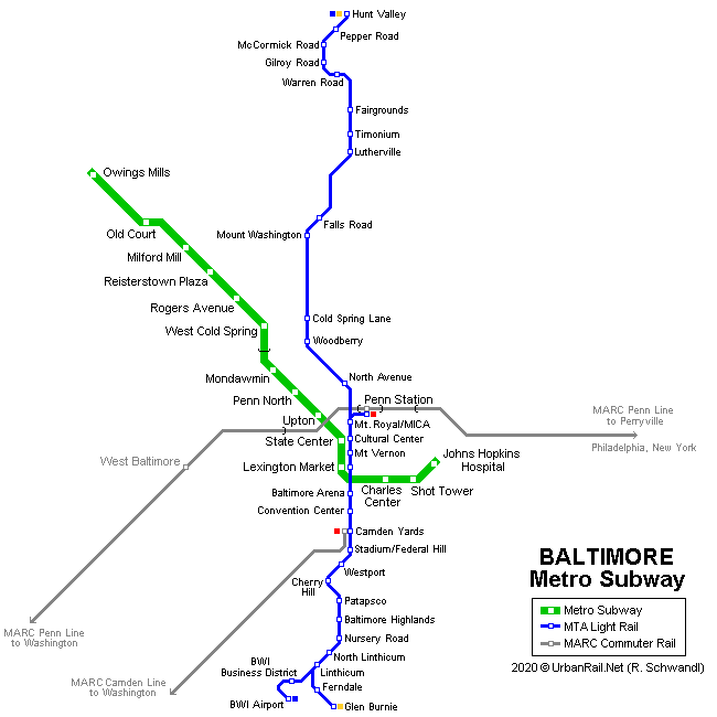
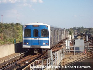
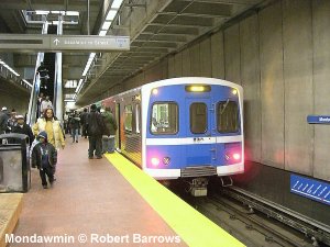
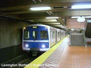
In 1972 Maryland approved the construction of a mass transit system with a total length of 45 km. Four years later, in 1976, MTA (Mass Transit Administration) began construction of a first 12.2 km segment, which was inaugurated in 1983 (Charles Center - Reisterstown). A second 9.8 km section was put into service in 1987 to Owings Mills with only two intermediate stations. Eventually in 1995, the 2.5 km stretch from Charles Center to Johns Hopkins Hospital opened for revenue service. The Baltimore Metro Subwayhas a total length of 24.8 km (10 km underground, 3.5 elevated, rest ground level) with 14 stations. Underground stations lie 16 - 34 m below street level. Platform length is 137 m for 6-car-trains. All stations are wheel-chair accessible. At Reisterstown Plaza and Owings Mills large park&ride facilities were built. Metro cars are air-conditioned and were ordered together with Miami's metro rail cars to save costs. Power supply is via third rail (700 V dc). 21 Nov 1983:
Charles Center - Reisterstown Plaza |
|
 |
|
| |
|
|
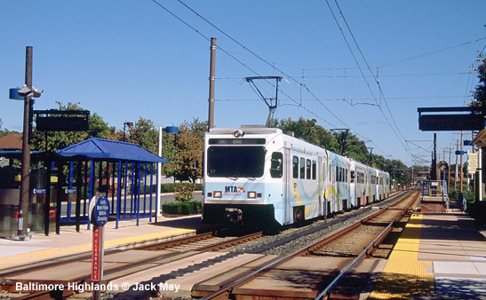
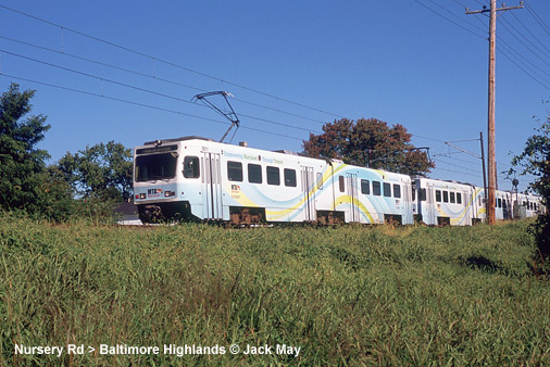
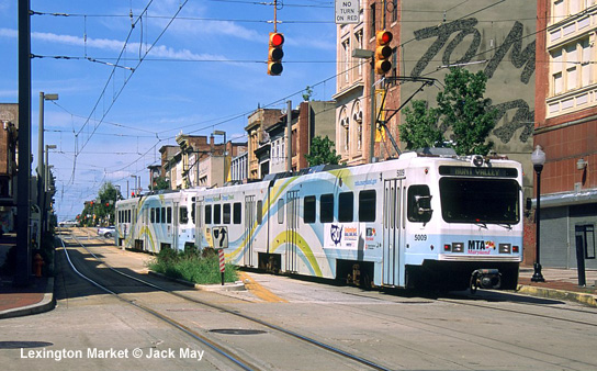
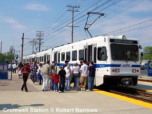
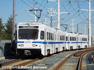
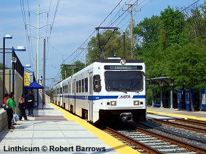
Baltimore's Light Rail system consists of a major trunk route plus with a train every 10 minutes, which splits into two short branches at its southern end, plus a shuttle service between the city's two railway stations (Penn Station and Camden Yards station). The system operates with high-floor vehicles, and therefore all stops are equipped with a short high-level platform to allow wheel-chair access at the front door of the train. The northern and southern sections of the trunk route were built using former railway corridors, and the central section lies on-street along Howard Street. 03 Apr 1992:
Timonium (now Fairgrounds) - Camden Yards (xx km) |
|
|
|
|
|
Projects |
|
|
The Red Line was supposed to be an east-west light-rail line with a long underground section in the central area. The project was shelved in June 2015, but is being revived by the present governor in 2023.
|
|
| Links | |
|
MTA Metro Subway & Light Rail (Official Page) Scott M. Kozel's article about the Baltimore Metro Subway Baltimore Metro Subway at Wikipedia Baltimore Transit at nycsubway.org
|
SUBWAYS
& LIGHT RAIL Click here for more info!
|
| Video | |
2007 © Robert Schwandl (UrbanRail.Net)