|
[ UrbanRail.Net ] [ Europe ] [ Americas ] [ Asia ] [ Africa ] [ Oceania ] [ News ] [ Books ] [ Links ] |
|
BOSTON
|
| Massachussetts . USA |
| System | ||
|
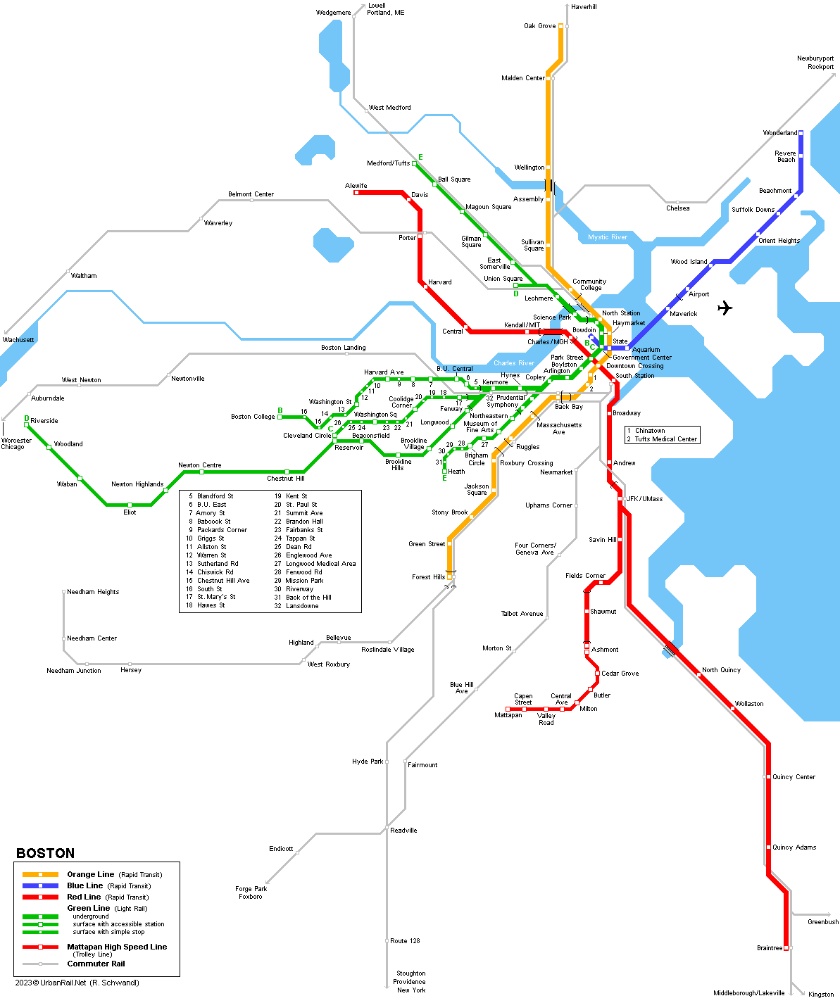
Boston is the capital of Massachusetts; with 620,000 inhabitants in the city proper, it is the centre of a large metropolitan area with some 4 million inhabitants. The Boston Subway network (the 'T') consists of three colour-coded full metro lines (red, orange and blue), plus a light rail line (green line) with four western branches and an underground section in Central Boston (actually America's oldest subway opened in 1897). The three metro lines are underground in the city centre but elevated or at grade in outer areas, partly using former railway corridors. Like the Green Line, the Red Line crosses the Charles River on a bridge (Longfellow Bridge) towards Cambridge (Harvard University), whereas the Blue line dives under the Boston Harbor to the Airport station (from where a shuttle bus links all the terminals) and further east to Wonderland. From the Red Line's southern terminus at Ashmont, a tram line continues to Mattapan. The 'T' is operated by MBTA (Massachusetts Bay Transit Authority) and (without the AshmontMattapan Line) the 'T' has a total length of ~ 103.5 km (2022):
|
||
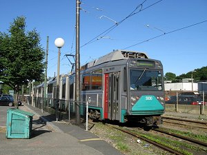
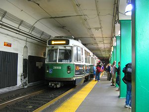
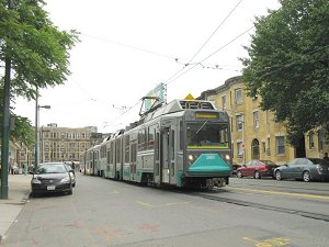
| Green Line | Medford/Tufts | Union Square | Government Center — Boston College | Cleveland Circle | Riverside | Heath | |
|
~ 43 km (7.2 km underground): B
Branch: Government Center - Boston College
01
Sept 1897: underground tram tunnel along Tremont street now still used
by the Green Line (Park St and Boylston stations)
|
||
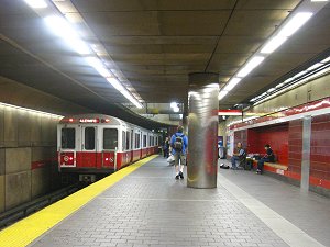
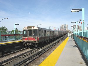
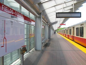
| Red Line | Alewife — Braintree | Ashmont | |
|
-
33 km (14 km underground) - 22 stations - 37 minutes to Ashmont and 46
min to Braintree.
23
Mar 1912: Harvard - Park Street (Cambridge - Dorchester Line) |
||
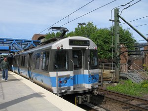
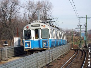
| AshmontMattapan High Speed Line | Ashmont — Mattapan | |
|
Shown on maps like an extension of the Red Line, the Mattapan Line (built in 1929) is similar to the Riverside branch of the Green Line and runs on a railway-type alignment with some level crossings. Since 1985, it has been operated with ex-Green Line PCC cars.
|
||
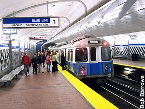
| Blue Line | Bowdoin — Wonderland | |
|
- 9.5 km (3.4 km underground) - 12 stations - 23 minutes
30
Dec 1904: tram tunnel downtown - Maverick under Boston Harbor
|
||
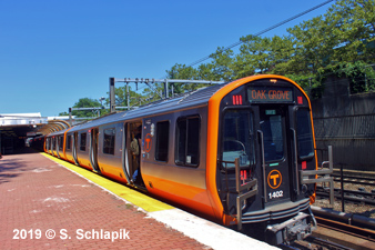
| Orange Line | Oak Grove — Forest Hills | |
|
- 18 km (3 km underground, 7.5 elevated) - 20 stations - 33 minutes
10
June 1901: elevated Orange Line sharing Tremont street tunnel (outer tracks)
(Sullivan Sq - Dudley St) March 2010: New England Medical Center station renamed Tufts Medical Center
|
||
| Silver Line | ||
|
In spring 2000, the construction of the MBTA Silver Line began, this is an innovative rubber-tired rapid transit service (i.e. a trolleybus) which will ultimately link the Washington Street Corridor and the South Boston Piers Transitway together providing a direct link to Logan Airport. This new system consists of a reserved bus lane plus a 1-mile tunnel between South Station and the piers with 3 underground stops.
|
||
|
Projects |
||
|
After platform lengthening concluded in 2009, the Blue Line might be extended north from Wonderland to Lynn along a disused rail alignment, and from Bowdoin to Charles station to create a connection to the Red Line. Take a look at this May 2021 Green Line Extension Construction Update: |
||
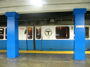
| Photos | ||
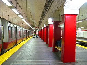
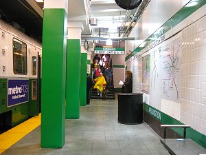
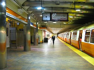
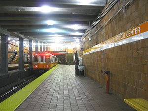
Park Street | Government Center | Arlington |
||
| Books | ||
|
Simms, Wilfrid F.: RAILWAYS OF BOSTON. The Massachusetts Bay Transportation Authority System, 1999 (ISBN 1902822021) |
||
| Links | ||
|
MBTA Subway at Wikipedia Boston Transit at nysubway.org Boston Metropolitan Planning Organisation (MPO) Robert Barrows' Boston Gallery
|
SUBWAYS
& LIGHT RAIL Click here for more info! |
|
2007 © Robert Schwandl (UrbanRail.Net)