|
[ UrbanRail.Net ] [ Europe ] [ Americas ] [ Asia ] [ Africa ] [ Oceania ] [ News ] [ Books ] [ Links ] |
|
CHICAGO
|
| Illinois . USA |
|
System
|
||
|
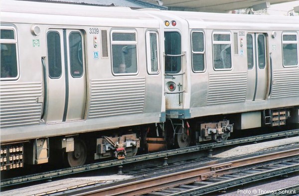
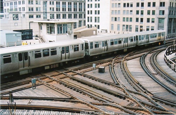
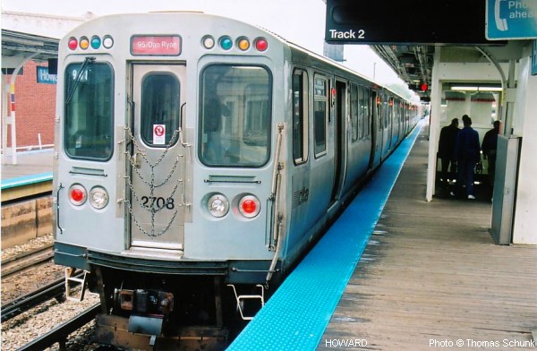
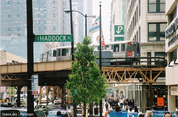
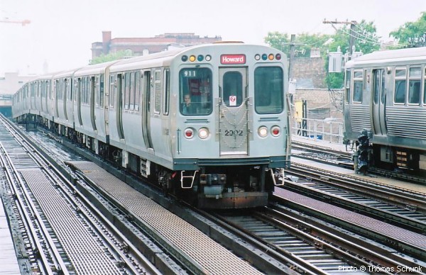
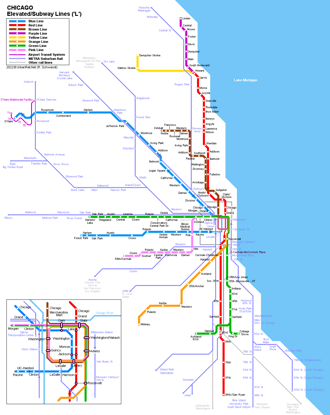
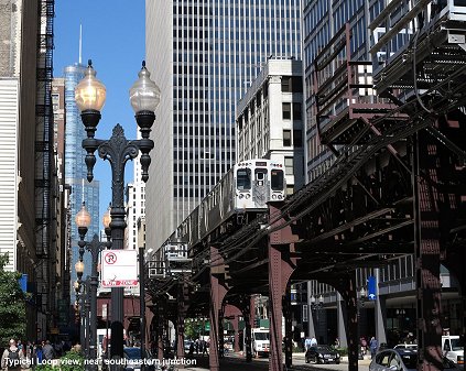
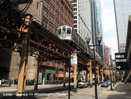
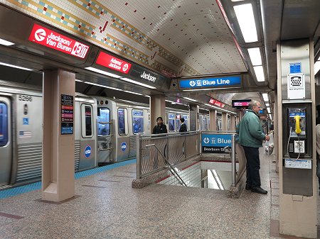
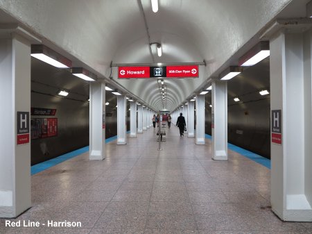
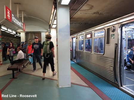
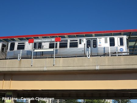
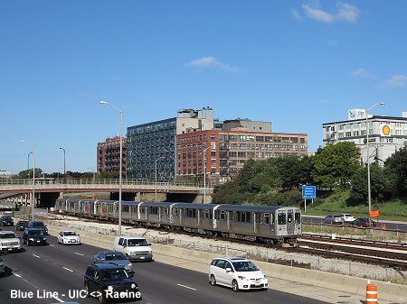
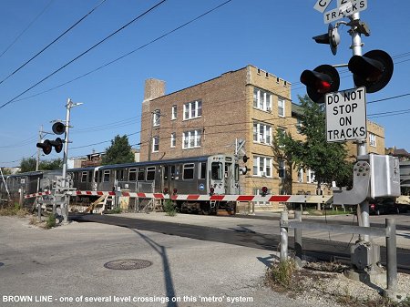
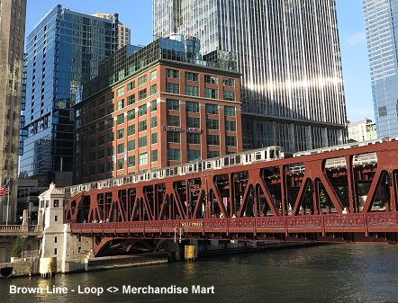
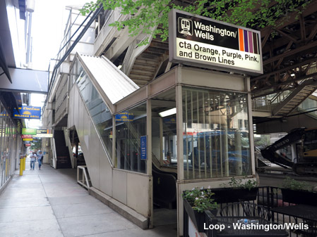
Chicago has 2.7 million inhabitants (some 9 million in the metropolitan area) and is the third largest metropolitan area in the USA (after New York and Los Angeles), situated on the western shore of Lake Michigan in the state of Illinois. Chicago's metro is known as the 'L' as most of its network is elevated. Some stretches of today's system date back to the end of the 19th century when Chicago followed New York's example to construct elevated rail lines. Whereas New York started early in the 20th century to put all elevated lines in Manhattan underground, Chicago maintains many of its original routes. All lines spread out from the city centre where some of them form the famous elevated Loop, now one of the city's landmarks. Two lines, the Blue Line and the Red Line cross the city centre north-south in a subway. The entire network is 169 km long, with 18 km lying underground. Large parts of the Blue Line and the southern leg of the Red Line run in the medians of expressways. Outer sections of the Brown, Pink and Purple Line, as well as the Yellow Line, run at grade with some level crossings. The 'L' is operated by CTA (Chicago Transit Authority). Both airports are served by CTA trains, O'Hare Airport by the Blue Line (45 min to city centre) and Midway Airport by the Orange Line (30 min to city centre).
|
||
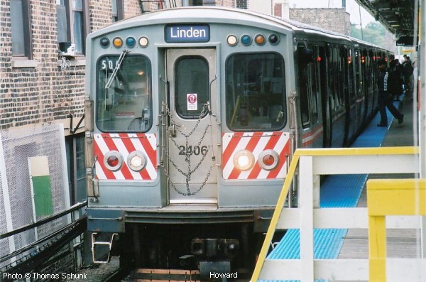
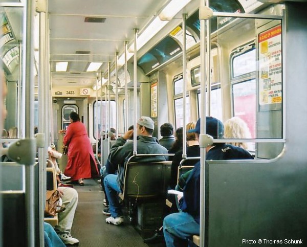
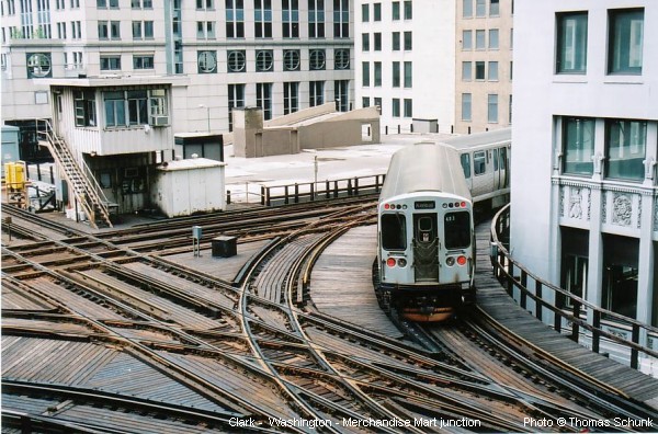
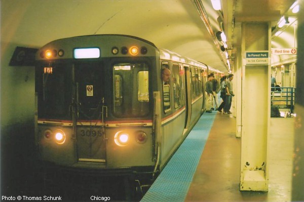
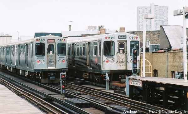
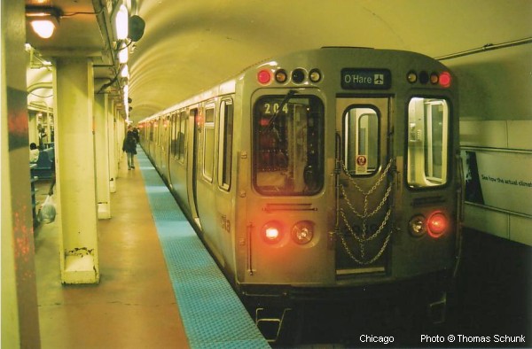
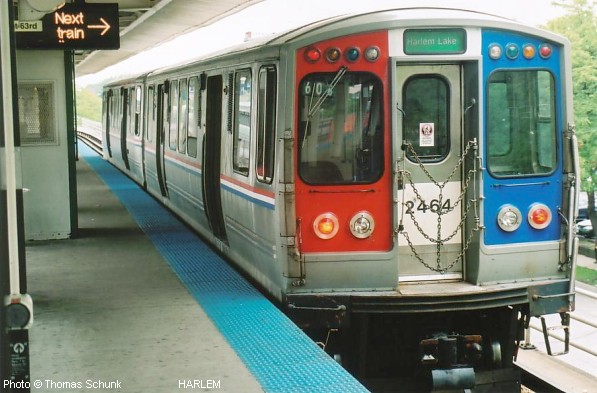
| Photos | ||
 |
||
|
History
|
||
|
from 1892 - four different companies start operating elevated lines north, west and south of the city centre using steam engines during the first years. 1897
- Loop opened around city centre For more details see links below ....
|
||
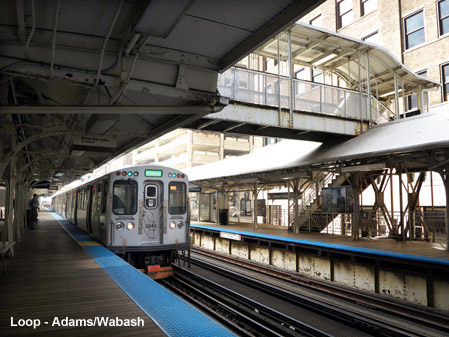
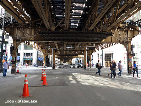
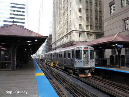
| The Loop | ||
|
||
|
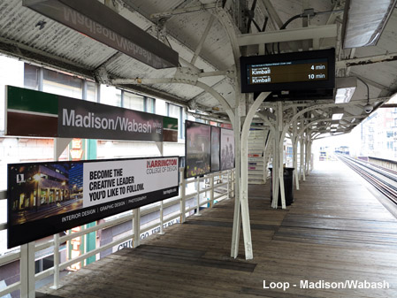
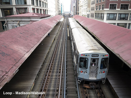
Loop: 16 March 2015: Madison/Wabash station permanently closed to allow construction of Washington/Wabash station. 31 Aug 2017: Washington/Wabash station opened, replacing stations at Randolph/Wabash and Madison/Wabash.
|
||
| Lines | ||
| .. | ||
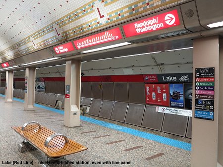
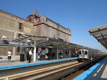
| Red Line | ||
|
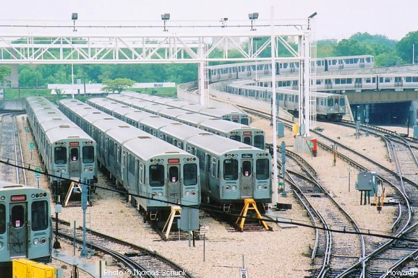
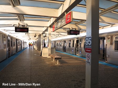
Howard - 95th/Dan Ryan: 35.5 km - 33 stations; operates 24 hours a day This busy
north-south route combines |
||
|
||
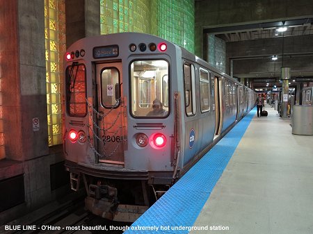
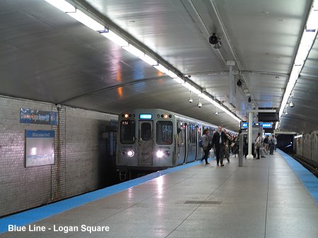
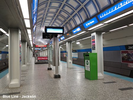
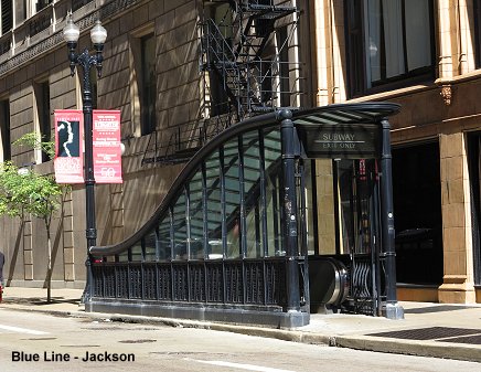
| Blue Line | ||
|
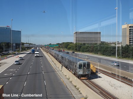
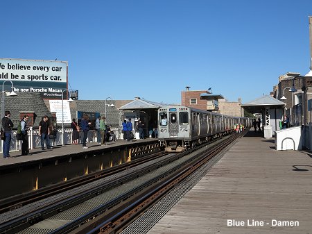
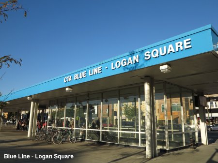
O'Hare - Forest Park: 44.5 km - 33 stations; operates 24 hours a day The former
'West-Northwest Route' combines |
||
|
||
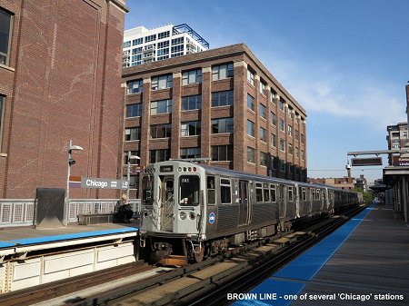
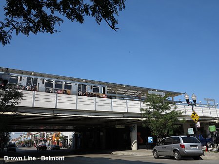
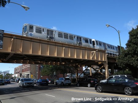
| Brown Line | ||
|
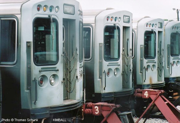
Kimball - Loop: 18.2 km - 27 stations The Brown
Line (Ravenswood Line) runs around the Loop in an anti-clockwise direction |
||
|
||
| Green Line | ||
|
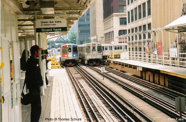
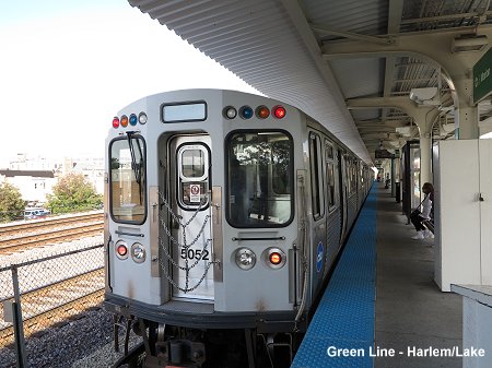
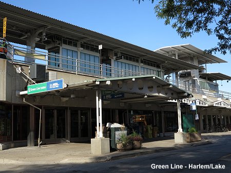
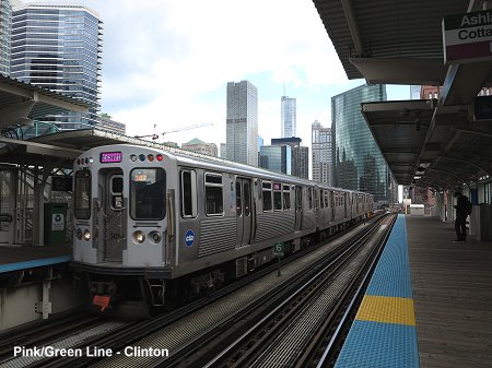
Harlem/Lake - Cottage Grove / Ashland/63rd: 32.5 km - 31 stations The Green Line runs west - south and, since the Pink Line was created, is the only line in Chicago with two branches (served alternately): - the western
leg corresponds to the old Lake Street L opened between 1892 and 1901 While several stations were closed in the course of the line's history, most lately on the occasion of the Green Line upgrading in 1994-96, the following have been added in recent years: 30-06-2001:
Conservatory-Central Park Drive |
||
|
||
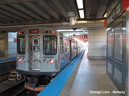
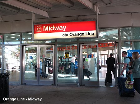
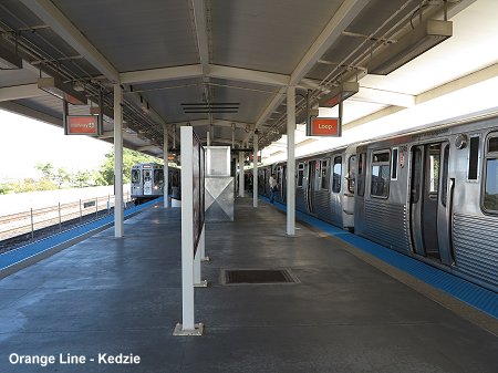
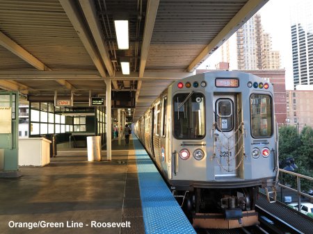
| Orange Line | ||
|
Midway - Loop: 20 km - 16 stations The Orange
Line runs clockwise around the Loop |
||
|
||
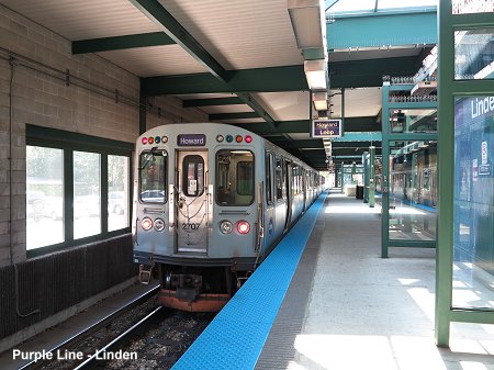
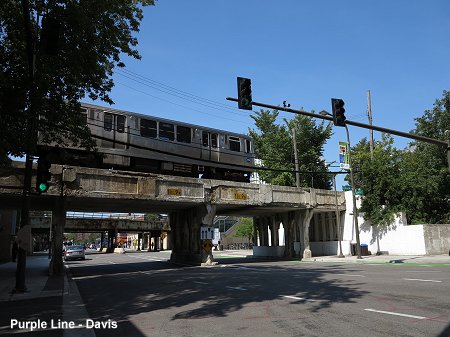
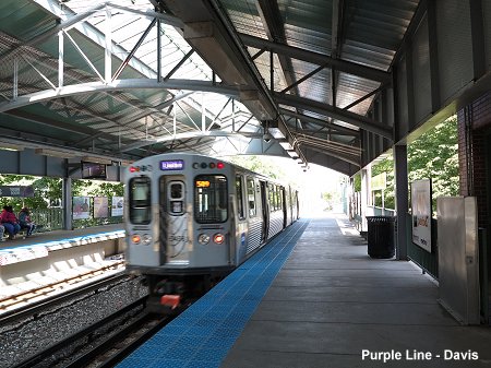
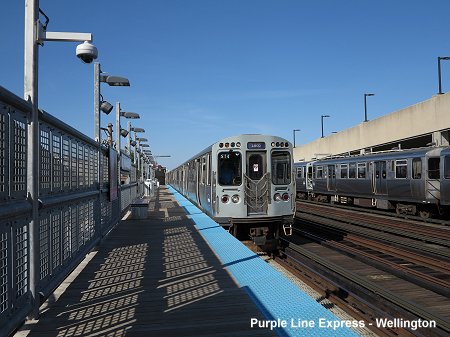
| Purple Line | ||
|
Linden - Howard (- Loop): 6.4 km (+ 19.7 km) - 9 (+ 17) stations The Purple
Line normally runs as a shuttle mostly within the City of Evanston, connecting
with the Red Line at Howard |
||
|
||
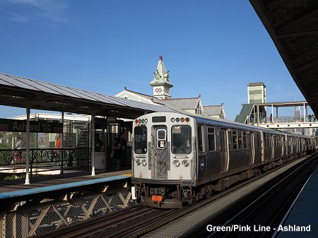
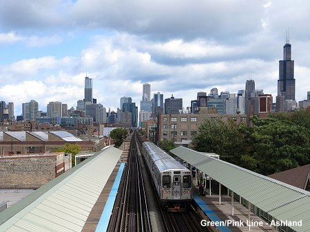
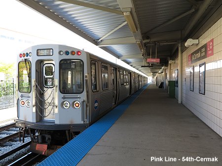
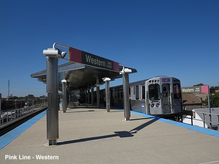
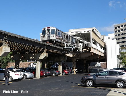
| Pink Line | ||
|
54th/Cermak - Loop: 17 km - 22 stations Though only
established on 25 June 2006, the Pink Line only includes older sections
of the network: |
||
|
||
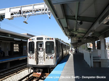
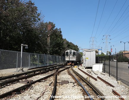
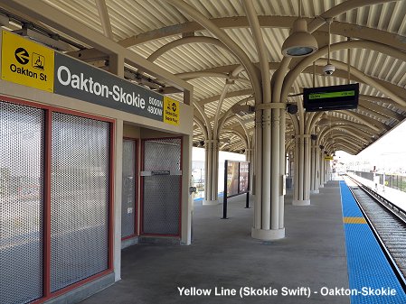
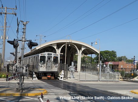
| Yellow Line | ||
|
Howard - Dempster-Skokie: 8 km - 3 stations Also known
as the 'Skokie Swift', the Yellow Line was introduced as a shuttle in
1964 |
||
|
||
|
Projects |
||
|
Several extensions are currently being discussed: Red Line
south to 130th Street |
||
| The Loop | ||
|
||
|
Links
|
||
|
CTA - Chicago Transit Authority - Official Site CTA - Ride the Rails - Official cab ride videos Metra Commuter Rail - Official Site South Shore Line - Official Site Chicago 'L' at Wikipedia Metra at Wikipedia Graham Garfield's Chicago "L".org - A Comprehensive Chicago Subway and L Page Jon Bell's Chicago Page with photographs Bill Vandervoort's CTA TRANSIT RAILFAN'S PAGE incl. history of lines BLOG: Read your webmaster's impressions of the Chicago 'L' during a visit in Sept 2014 |
Our
Book: USA - Midwest & South
|
|
| Photos | ||
|
|
||
|
|
||
2007 © Robert Schwandl (UrbanRail.Net)