 |
|
| System | |
|
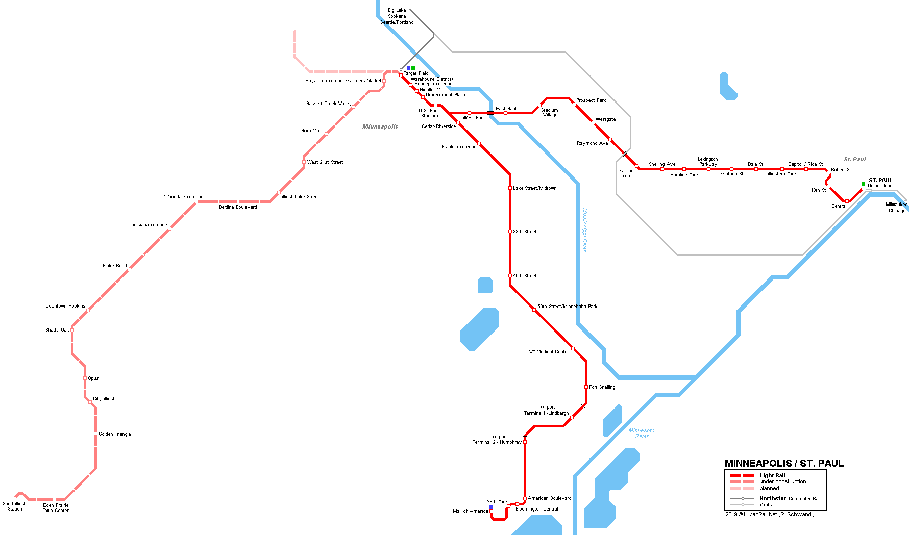
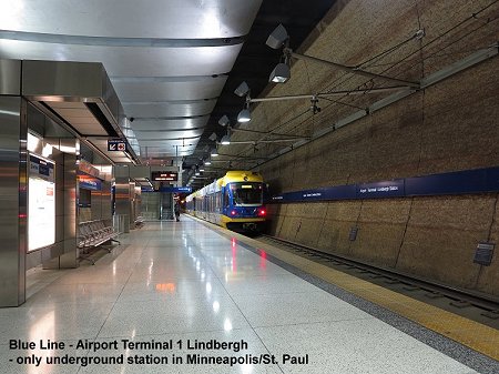
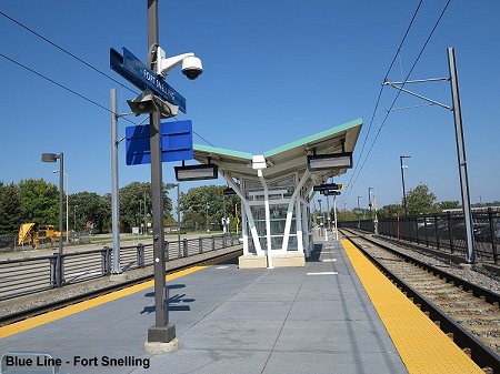
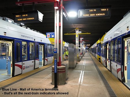
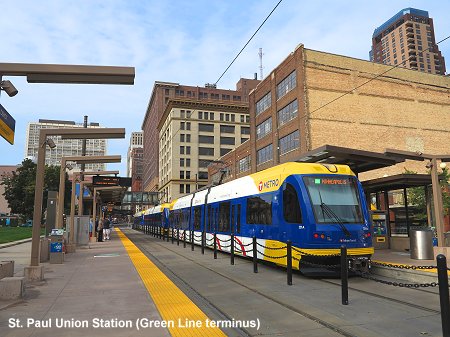
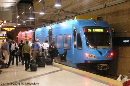
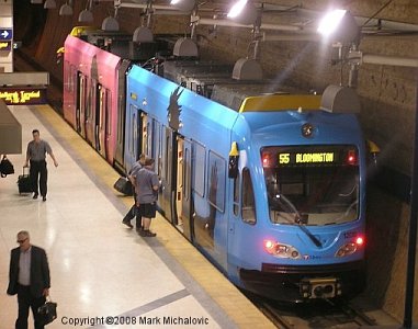
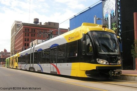
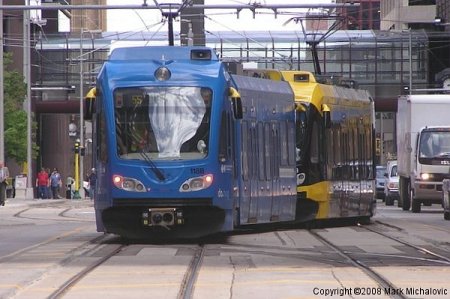
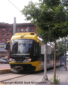
Light rail system "MetroTransit" BLUE LINE (until May 2013: "Hiawatha Line"): 19.7 km, 19 stops (Airport Lindbergh Terminal underground) - opened
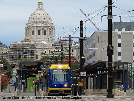
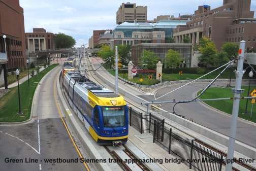
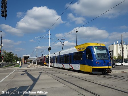
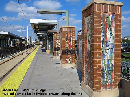
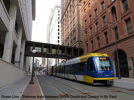
26 June 2004 from downtown to Fort Snelling GREEN LINE ("Central Corridor"): 17.6 km (2.5 km of which are shared with Blue Line) - opened
14 June 2014 - being extended southwest to Eden Prairie as SouthWest LRT [Project Website]
|
|
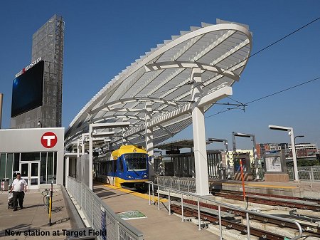
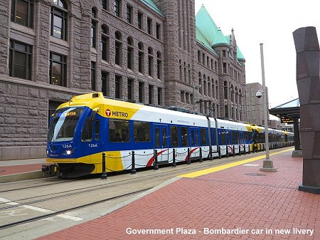
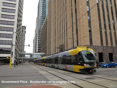
| Photos | |
|
|
|
| Links | |
|
MetroTransit (Official Website) Metropolitan Council - light rail projects Hiawatha Line at Lightrailnow Site Hiawatha (Blue) Line at Wikipedia Green Line at Wikipedia BLOG: Read your webmaster's impressions of the Minneapolis/St. Paul light rail system during a visit in Sept 2014
|
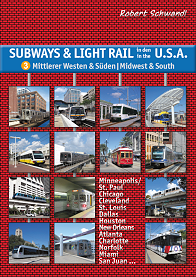
Our Book: USA - Midwest & South
|
| Photos | |
|
|
|
2005 © UrbanRail.Net by Robert Schwandl