|
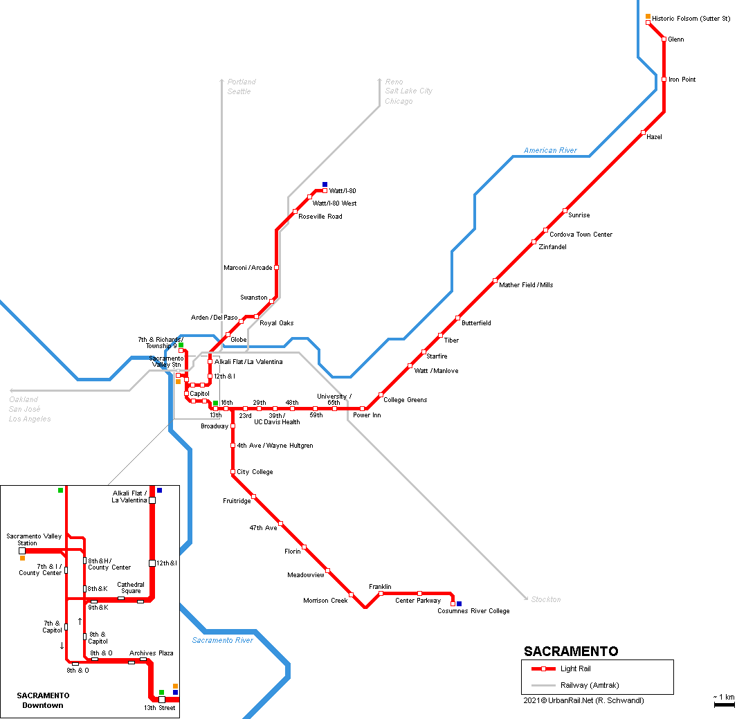
Light
rail system:
- 70
km
- 53 stops:
low platforms and high-floor trains (short high platform section for
stepfree access at front door)
- single-track sections on American River crossing between Alkali
Flat/La Valentina and Globe; from Roseville Rd to Watt/I-80; from
a point halfway between Sunrise and Hazel to the Folsom terminus;
on Green Line up to B Street
- major structures include the grade-separated junction east of 16th
Street with a viaduct across a freight railway; and a viaduct across
the mainline railway between University/65th St and Power Inn;
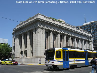
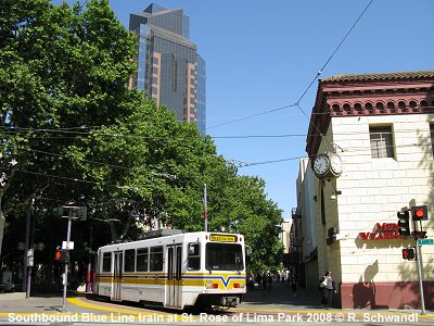
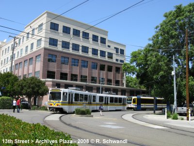
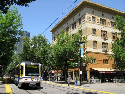
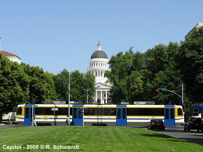
- street-running in the downtown area and on the northen leg of the
Blue Line up to Arden/El Paso (except river crossing);
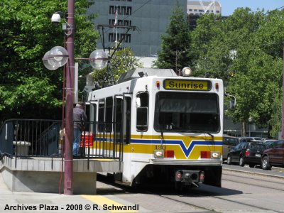
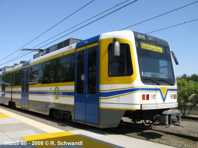
- 36 Siemens-Duewag U2A cars (1987)
- 40 CAF cars (2002/03)
- normally operated as 2-car trains, but 4-car trains during peaks
- every 15 minutes; Green Line every 30 minutes and weekdays only
3 lines:
Blue
Line: Watt/I-80 - Cosumnes River College
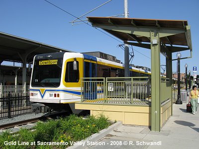
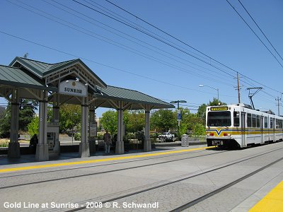
Gold Line: Sacramento Valley Station
- Historic Folsom
Green Line: 13th Street - 7th
& Richards/Township
12-03-1987:
Watt/I-80 - 8th & O
05-09-1987: 8th & O - Butterfield (Watt/I-80 - Butterfield >
29 km, at that time mostly single-track)
1990s: double-tracking of most of the first line
14-07-1994: + 39th Street & 48th Street
06-09-1998: Butterfield - Mather Field/Mills
26-09-2003: 16th Street - Meadowview (South Line 10 km)
11-06-2004: Mather Field - Sunrise
15-10-2005: Sunrise - Folsom (12 km)
08-12-2006: Downtown Loop - Sacramento Valley Station (0.8 km)
09-01-2012: 8th & H/County Center stop (northbound only) added
15-06-2012: H Street - 7th & Richards/Township 9 (1.8 km)
24-08-2015: Meadowview - Cosumnes River College (6.9 km)
29-08-2021:
Morrison Creek stop added
St. Rose
of Lima Park (7th & K) light rail station previously located on
K Street was relocated to a new location around the corner south
on 7th Street, between K and L streets, on 20 March 2010.
|