|
[ UrbanRail.Net ] [ Europe ] [ Americas ] [ Asia ] [ Africa ] [ Oceania ] [ News ] [ Books ] [ Links ] |
|
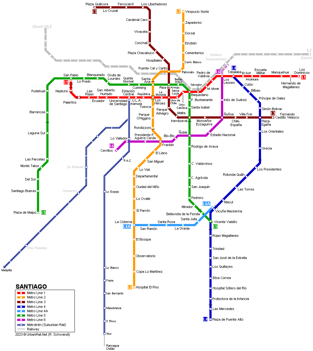
SANTIAGO
|
| Chile |
|
[ UrbanRail.Net ] [ Europe ] [ Americas ] [ Asia ] [ Africa ] [ Oceania ] [ News ] [ Books ] [ Links ] |
|
SANTIAGO
|
| Chile |
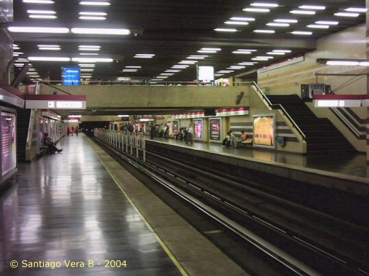
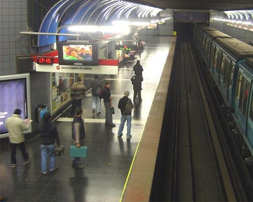
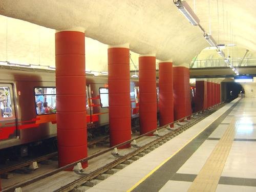
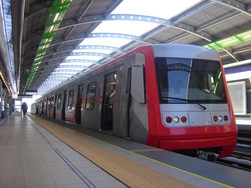
| Metro | ||
|
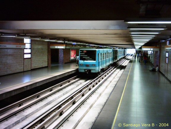
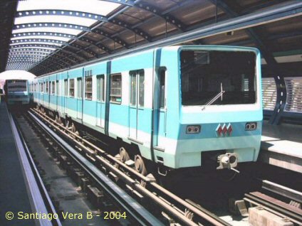
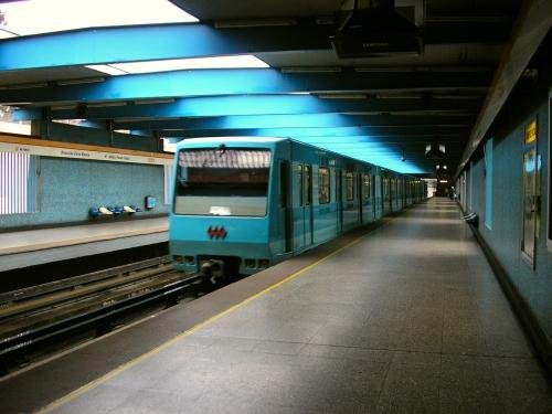
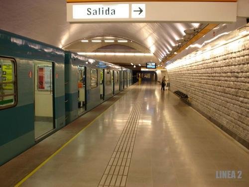
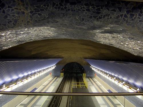
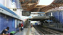
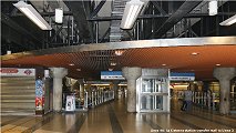
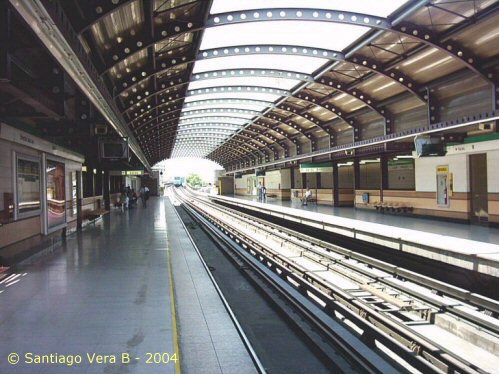
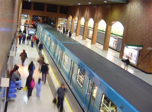
Gran Santiago, the metropolitan area of the Chilean capital, has 6.1 million inhabitants. The city lies 110 km from the Pacific Ocean (Valparaíso). In 1968 the decision was taken to build a rubber-tyred metro system with 5 lines and totalling 60 km, which by the end of 2023 had grown to roughly 140 km:
|
||
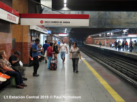
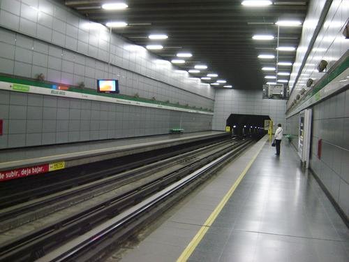
| Line 1 San Pablo - Los Dominicos | 19.8 km - almost entirely underground | |
|
|
||
| Line 2 Vespucio Norte - Hospital El Pino | 24.7 km - 20.7 km underground | |
|
|
||
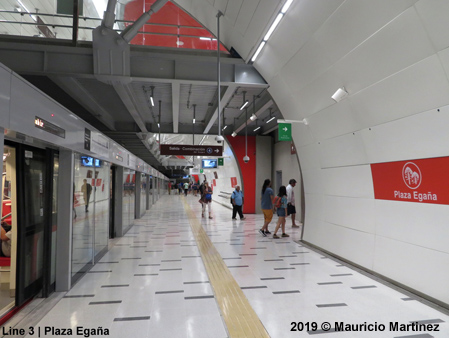
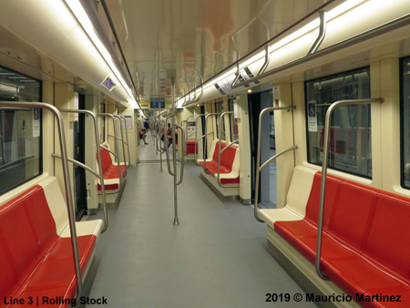
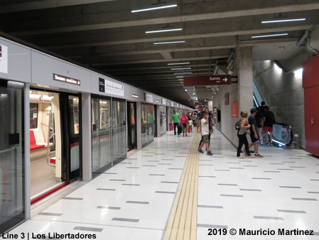
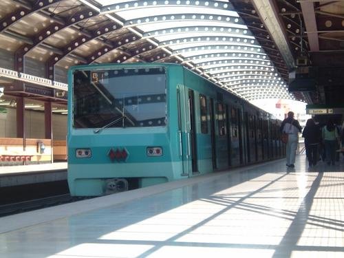
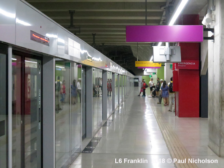
| Line 3 Plaza Quilicura - Fernando Castillo Velasco | 23.8 km - driverless | |
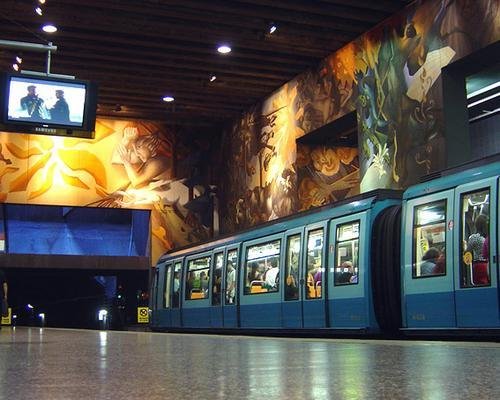
| CAF has supplied and maintains 115 cars for Line 3 and 70 for Line 6. They are equipped with CBTC provided by Thales for driverless operation. | ||
| Line 4 Tobalaba - Pl. Puente Alto | 24.7 km - steel wheels, partly underground and partly at grade/elevated | |
|
|
||
| Line 4A V. Mackenna - La Cisterna | 7.7 km, at grade/elevated | |
|
|
||
| Line 5 Plaza de Maipú - Vicente Valdés | 30.7 km | |
|
|
||
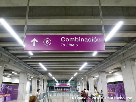
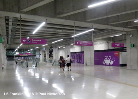
| Line 6 Cerrillos - Los Leones | 15.3 km - driverless | |
|
|
||
|
History |
||
|
15
Sept 1975: Line 1 San Pablo - La Moneda (8.2 km)
|
||
| Projects | ||
|
A second east-west line, L7, is under construction. It will run parallel to L1 through the northern parts of the city, providing interchange with other lines at Puente Cal y Canto (L2, L3), Baquedano (L1, L5) and Salvador (L1). L6 is to be extended southwest to Lo Errázuriz to create an interchange with the future suburban line to Melipilla, and northeast to Torre Titanium (Vitacura/Isidora Goyenechea) where it will meet L7. Plans for lines 8 and 9 have been revealed. A second suburban line, el Tren Melipilla, heading southwest from Estación Central (Alameda) to Melipilla. [Website]
|
||
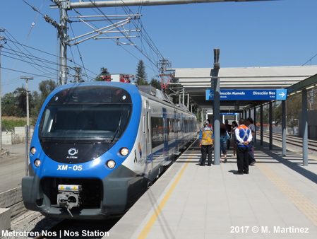
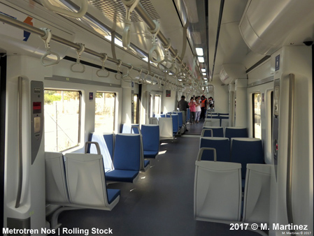
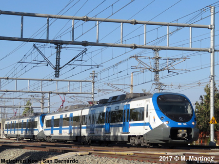
| Metrotrén Nos | ||
| A fully integrated S-Bahn service was launched on 17 March 2017 on the upgraded section of the railway line to Rancagua and Chillán, providing a dense suburban service within the metropolitan area, from Estación Central (Alameda) to Nos. Trains run every 6 min during peak hours and every 10 minutes off-peak, with a journey time of 24 minutes. | ||
|
|
||
| Links | ||
|
Metro de Santiago (Official Page) incl. new extensions Metrotrén (Suburban Rail) en Tren Central (EFE) Metro Santiago en Wikipedia (Spanish) |
||
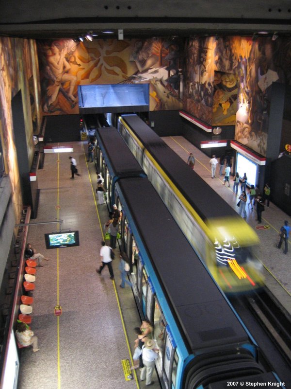

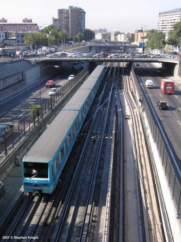
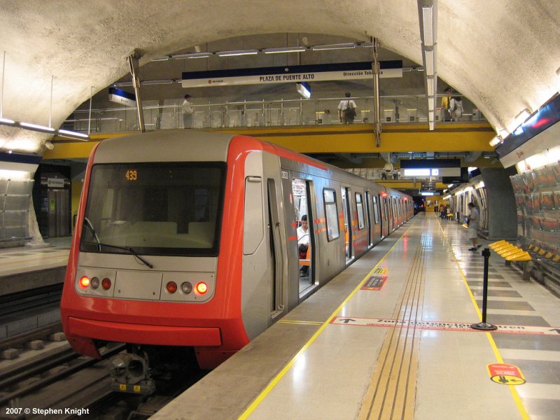
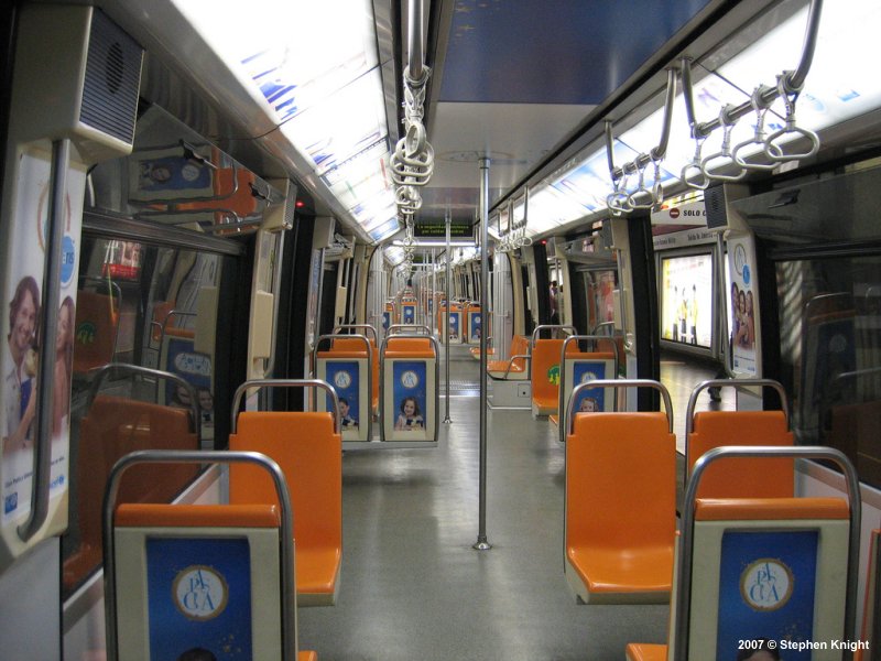
(1-4) Stephen
Knight
2007 © UrbanRail.Net by Robert Schwandl