|
[ UrbanRail.Net ] [ Europe ] [ Americas ] [ Asia ] [ Africa ] [ Oceania ] [ News ] [ Books ] [ Links ] |
|
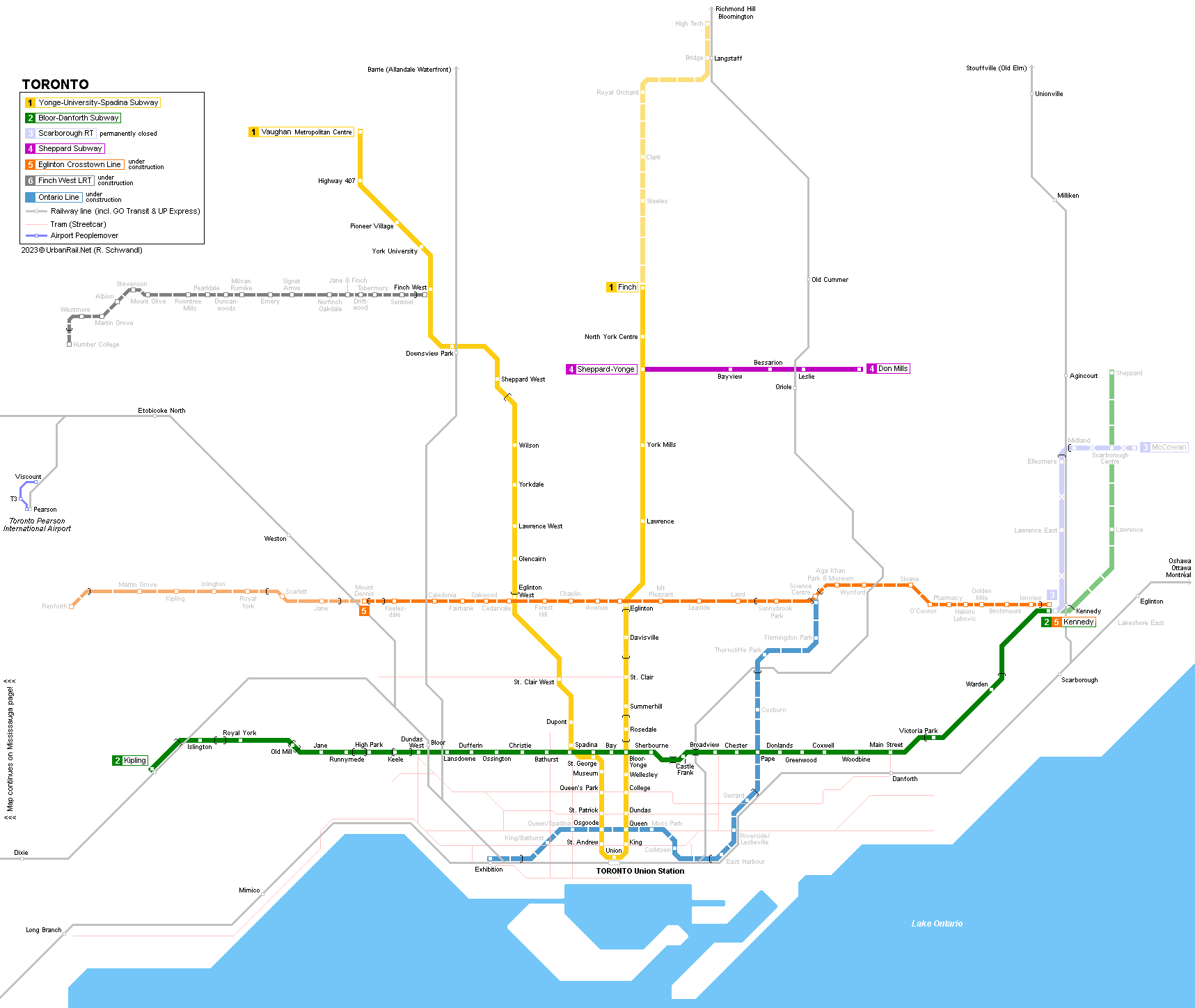
TORONTO
|
| Ontario . Canada |
![]()
|
SUBWAY
|
|
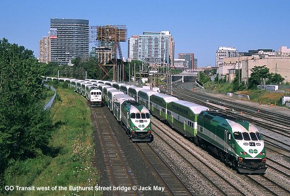
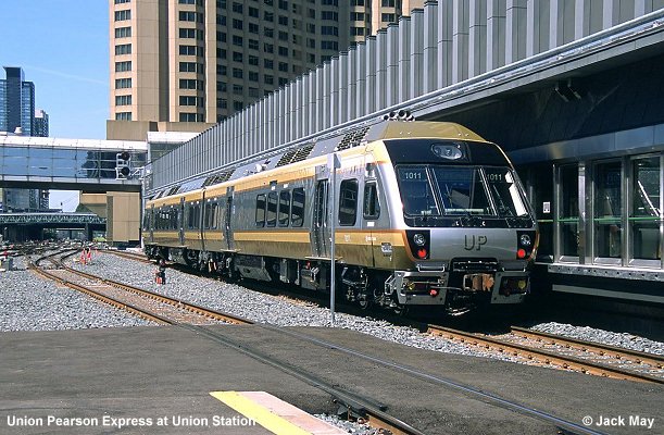
TTC (Toronto Transit Commission) operates three full metro lines (1495 mm gauge) and, until July 2023, one short light rail type line (Scarborough RT). Apart from these rapid transit rail lines there is an 82 km long streetcar network as well as the GO Transit suburban rail service connecting with the metro at the central Union station and other stations. Additional line numbers were first introduced in March 2014. A special airport service, the Union Pearson Express, was brought into service on 6 June 2015. Total length (12/2017): 78.6 km (60.6 km underground, 8 km elevated, 10 km ground level)
|
 |
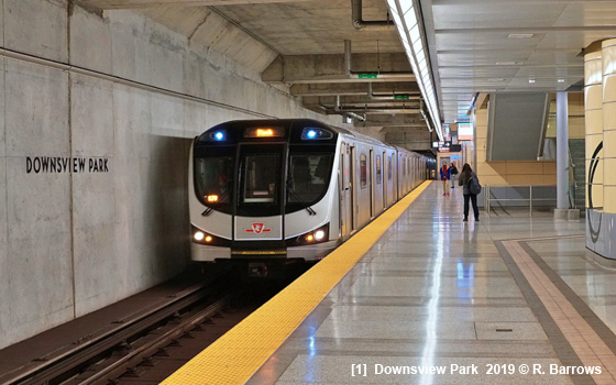
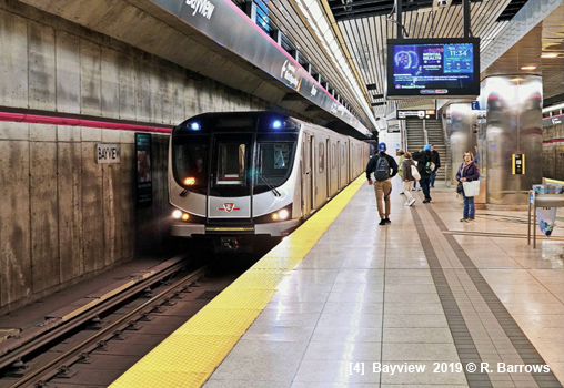
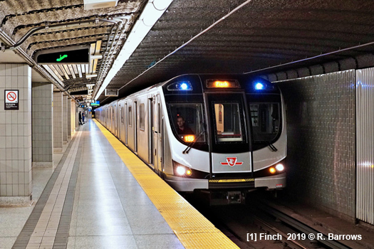
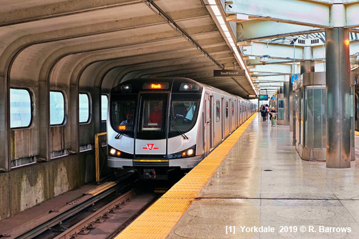
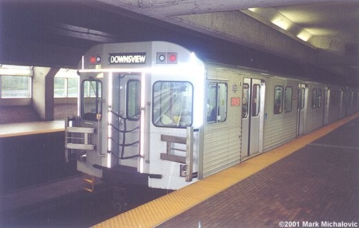
| [1] Yonge-University-Spadina Subway |
|
Vaughan Metropolitan Centre - Finch, 39.6 km, 38 stations, U-shaped line giving two north-south routes 30 Mar 1954:
Eglinton - Union (7.4 km)
|
|
|
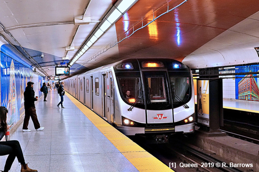
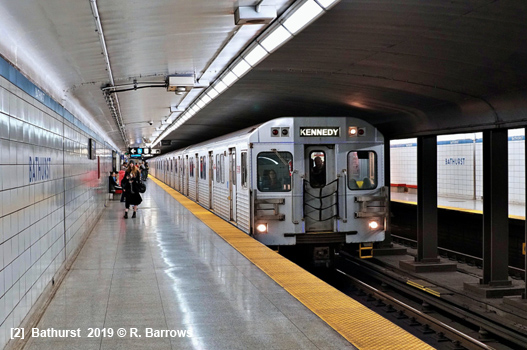
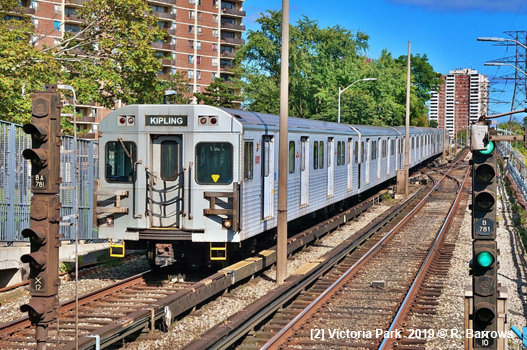
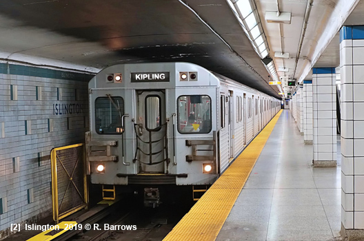
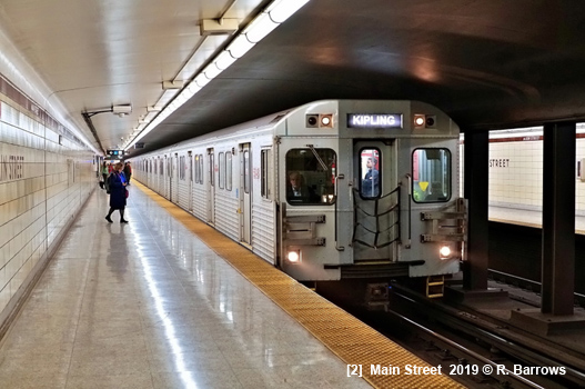
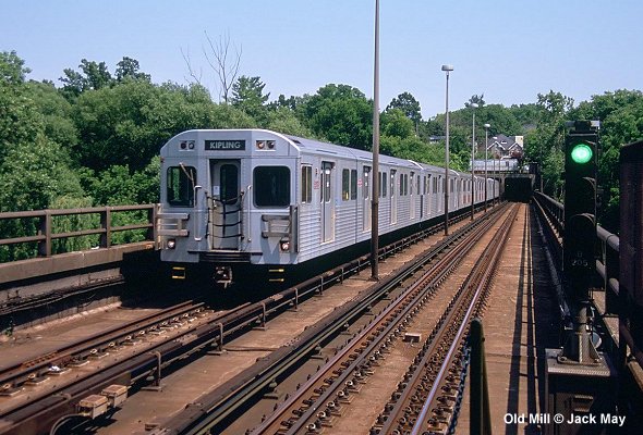
| [2] Bloor-Danforth Subway |
|
Kipling - Kennedy, 27.5 km, 31 stations, east-west line parallel to Lake Ontario 26 Feb 1966:
Keele - Woodbine
|
|
|
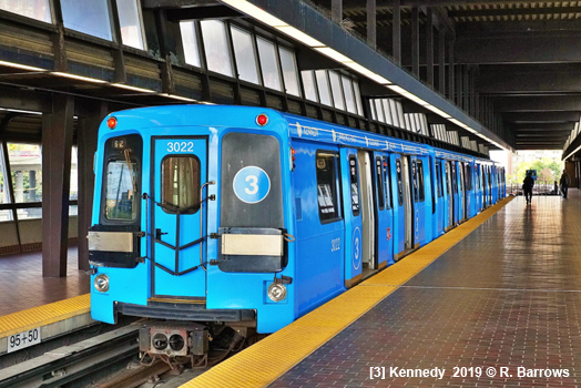
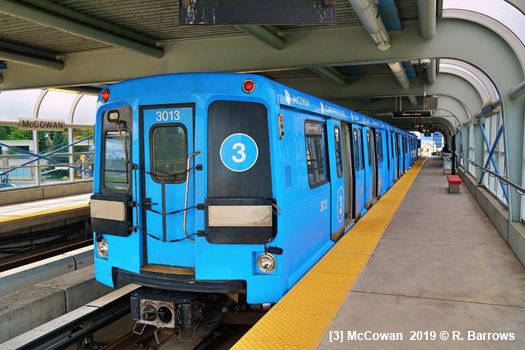
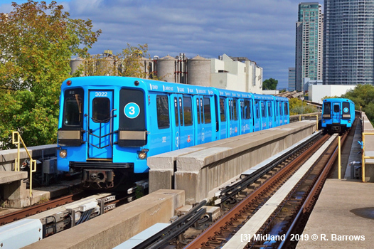
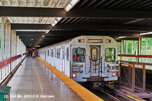
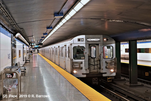
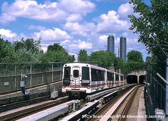
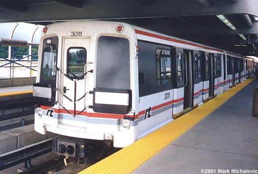
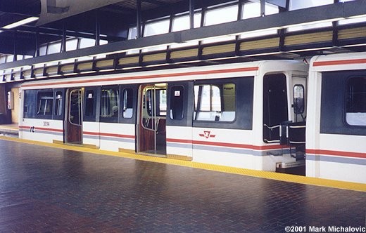
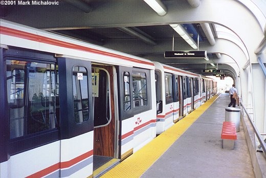
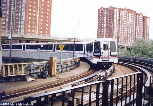
| [3] Scarborough RT |
|
Kennedy - McCowan, 6.4 km, 6 stations, driverless small-profile metro, partly elevated and partly at grade (around Ellesmere and Lawrence East stations), to be replaced by a subway extension. 24 May 1985 - Kennedy - McCowan Line 3 was set to close in November 2023, but after a derailment on 24 July 2023 it remains permanently closed earlier than scheduled.
|
|
|
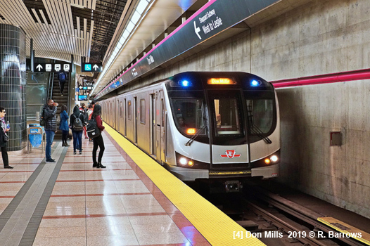
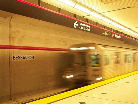
| [4] Sheppard Subway |
|
Sheppard/Yonge - Don Mills, 5.5 km, 5 stations 24 Nov 2002 - Sheppard/Yonge - Don Mills
|
|
|
|
LIGHT
RAIL
|
|
Apart from the rapid transit rail lines and the extensive streetcar network, the TTC network also includes two standard-gauge light rail lines following the Subway numbering scheme:
|
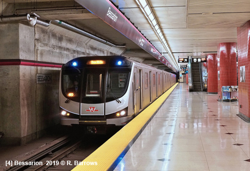
| [5] Eglinton Crosstown |
|
Modern tram line along Eglinton Avenue featuring a lengthy tunnel section (Project Website) 08 Feb 2026: Mount Dennis — Kennedy (19 km - 9.8 km underground)
|
|
|
| [6] Finch West |
|
Modern tram line from the Finch West subway station on Line 1 west along Finch Avenue West 07 Dec 2025: Finch West — Humber College (10.8 km) (More info)
|
|
|
|
Projects |
|
Bloor-Danforth Subway is being extended 7.8 km to Scarborough to replace Scarborough RT line (Project Website) Hurontario LRT (Hazel McCallion Line): To the west of Toronto, a light rail line is planned along Hurontario Street, linking Port Credit GO station in Mississauga to Brampton GO station in Brampton (2025) (Project Website) The 15.6 km Ontario Line, a completely new subway line (with some surface sections) officially started construction in March 2022. (Project Website) The 8 km Yonge North Subway Extension (YNSE) (6.3 km underground) started construction in Feb 2023. (Project Website) All projects here on Metrolinx website!
|
|
Photos
|
|
Older
Photos
|
|
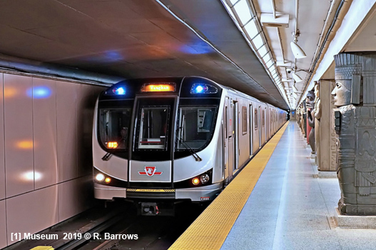
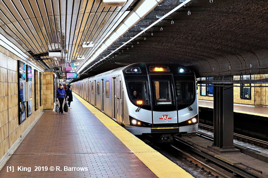
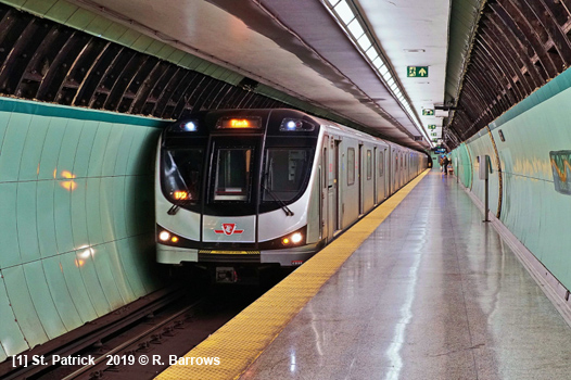
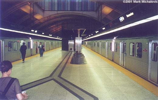
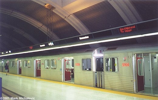
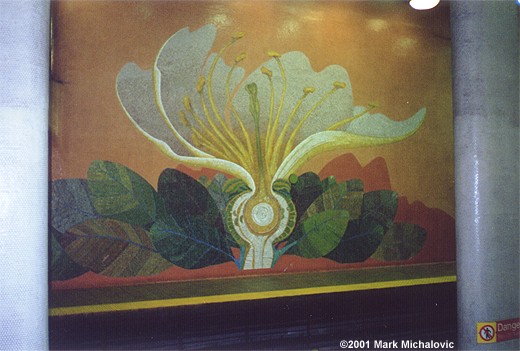
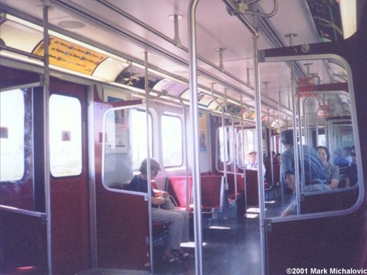
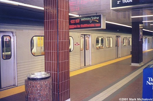
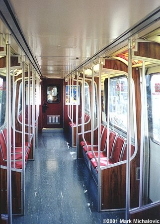
Yonge-University-Spadina + Bloor-Danforth Subways
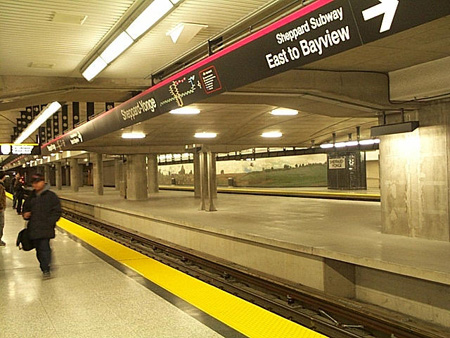
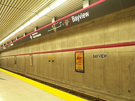
Sheppard Subway:
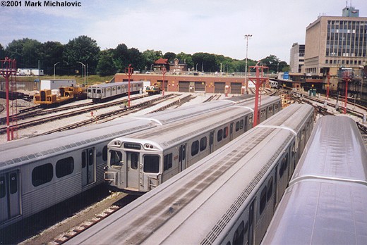
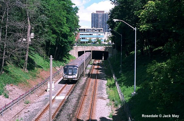
Scarborough RT:
|
|
Links
|
|
TTC (Official Site) - Subway and Streetcar Operator GO Transit - Toronto Area Commuter Rail Home Page Metrolinx - Ontario Transport Planning Authority James
Bow's The Transit
Toronto Website - Subways & Streetcars Toronto Transit at nycsubway.org Toronto Transit Commission at Wikipedia CPTDB - Toronto - Rolling stock roster, etc. Steve Munro discusses Toronto transit issues UrbanRail.Net > Toronto's ghost station Lower Bay |
|
Our
books:
|
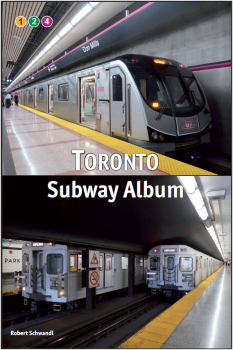 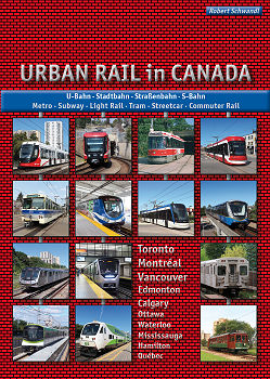
URBAN RAIL in CANADA – Metro · Subway · Light Rail · Tram · Streetcar · Commuter Rail Vancouver · Calgary · Edmonton · Waterloo/Kitchener · Hamilton · Mississauga · Toronto · Ottawa · Montréal · Québec Text deutsch
& English |
|
Videos
|
| Line 1 - Yonge-University: History & Cab ride from Sheppard West to Finch |
|
|
| Line 2 - Bloor-Danforth: History Cab ride from Kennedy to Kipling |
|
|
2007 © Robert Schwandl (UrbanRail.Net)