|
[ UrbanRail.Net ] [ Europe ] [ Americas ] [ Asia ] [ Africa ] [ Oceania ] [ News ] [ Books ] [ Links ] |
|
BAKI
|
| Azerbaijan |
|
METRO
|
|
|
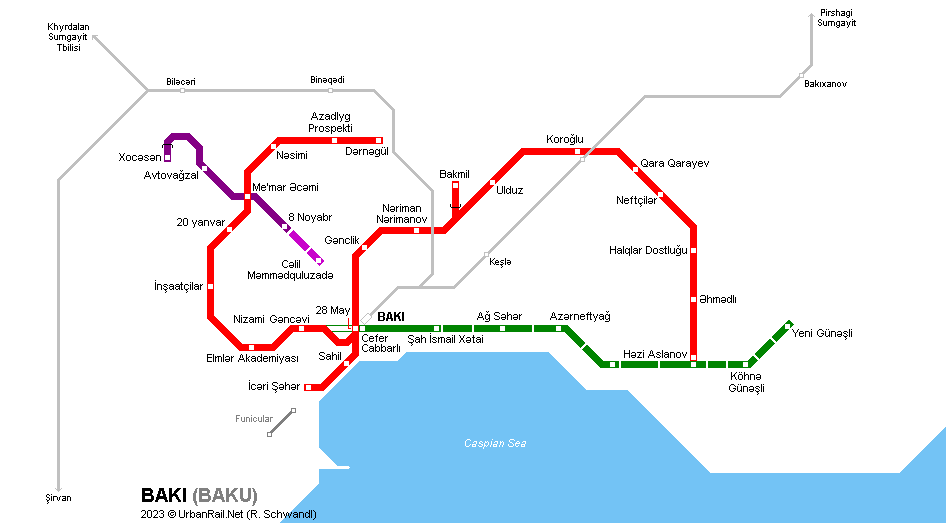
The capital of the former Soviet Republic of Azerbaijan, Baki (Baku) has 2.5 million inhabitants and is situated on the hills of Apsheron peninsula by the Caspian Sea. A Metro system for Baku was first envisaged in the 1932 Master Plan, and in 1949 the Council of Ministers of the USSR approved the design and construction works. Actual construction on the first line started in 1951, but was suspended in 1953, the official reason being lack of funds. Construction was re-launched in 1960, with the alignment of the first line having been modified due to new urban developments. The first stretch of 6.5 km with five stations was opened on 6 Nov 1967 between Baki Soveti and Narimanov. The network was expanded gradually and by 2011 had two lines with a total length of 34.8 km and 23 stations. Eventually, the first section of a third line was opened in 2016: Red Line
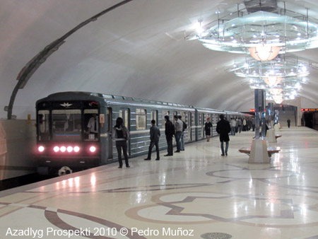
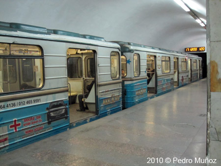
- 21 stations - 32.3 km Stations have 105 m platforms which allow the use of 5-car trains (full sets in service since 1985). The fleet has been considerably renewed since 2000, and now consists of Soviet/Russian 81-717/714-family cars with the oldest dating from 1986. Track gauge is 1520 mm, and power supply is via a third rail (825 V dc). At present, the two lines are not completely segregated due to a missing link between Cefer Cabbarli and Nizami. Therefore the second line from Darnagul is routed to Hazi Aslanov, while the Cefer Cabbarli - Sah Ismail Xatai section is operated as a double-track shuttle. Bakmil is served twice an hour by train from Iceri Seher. |
|
|
History
|
|
|
Some stations were renamed in the 1990s, names given in brackets are original names found on older maps: 25 Nov 1967:
Iceri Seher (Baki Soveti) - Nariman Narimanov (6.5 km) Renamed
stations: See list with all current and old station names in Azerbaijani, Russian and with English transliteration (pdf). |
|
|
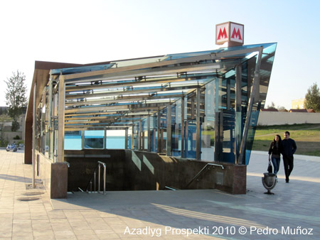
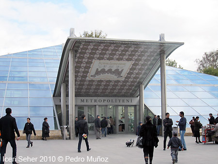
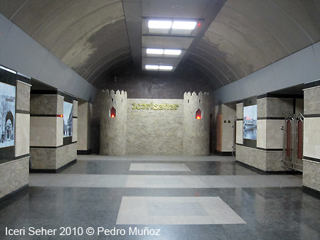
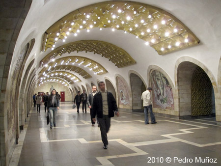
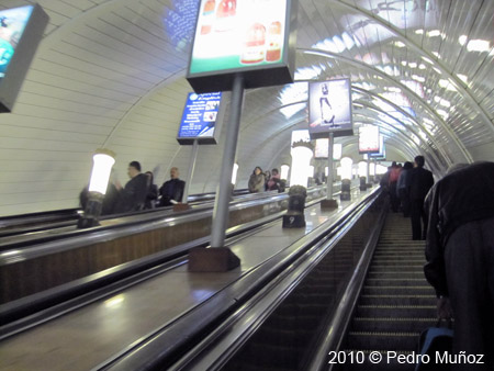
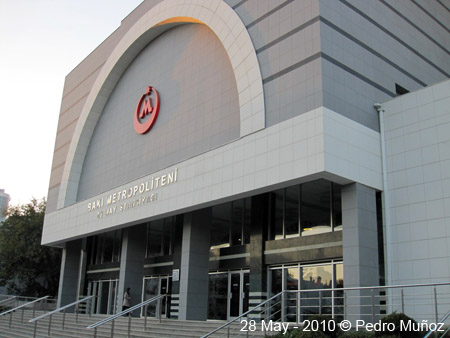
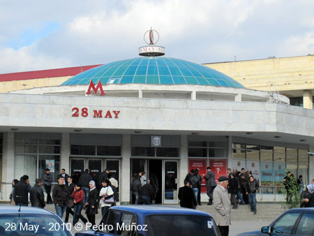
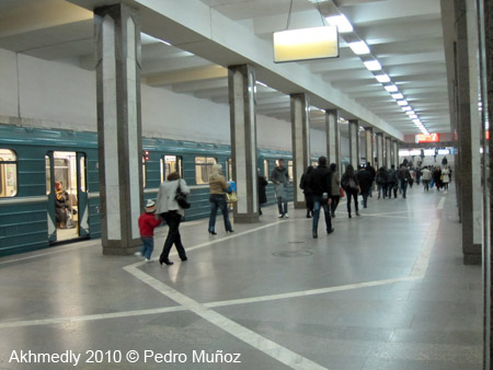
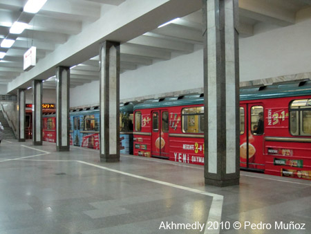
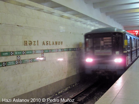
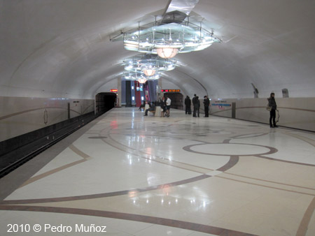
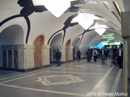
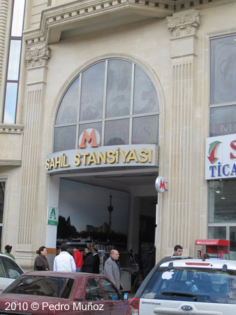
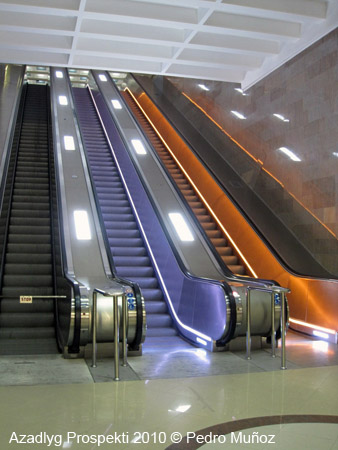
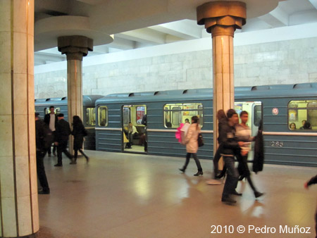
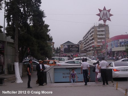
Photos
|
|
 |
 |
 |
 |
 |
 |
 |
 |
 |
 |
|
Links
|
|
|
Baku Metropoliten (Official Page) Baku Metro on Wikipedia Baku Metasubway station Baku Metro at Mir metro/Metroworld by Aksenov Dmitry List with all current and old station names in Azerbaijani, Russian and with English transliteration (pdf).
|
|
|
Photos
|
|
 |
 |
 |
 |
|
 |
 |
 |
2007 © Robert Schwandl (UrbanRail.Net)