|
[ UrbanRail.Net ] [ Europe ] [ Americas ] [ Asia ] [ Africa ] [ Oceania ] [ News ] [ Books ] [ Links ] |
|
MIHCK
. MINSK
|
| Belarus |
Click on map
to expand for full metro & tram network!![]()
|
[ UrbanRail.Net ] [ Europe ] [ Americas ] [ Asia ] [ Africa ] [ Oceania ] [ News ] [ Books ] [ Links ] |
|
MIHCK
. MINSK
|
| Belarus |
Click on map
to expand for full metro & tram network!![]()
|
System
|
||||
|
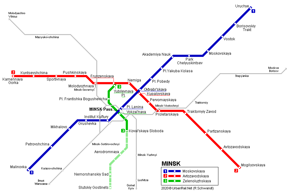
Minsk, the capital city of the former Soviet republic of Belarus, has 1.76 million inhabitants and is right in the centre of the country. The Minsk metro network is a typical triangle system opened on 26 June 1984, after 8 years of construction. There are plans for a basic network of 58.3 km and 45 stations (3 lines). Line 3 was added in 2020 as a north-south line crossing the other two lines at Frunzenskaya (formerly Yubileinaya) and Pl. Lenina (for some time called Pl. Nezavisimosti / Pl. Niezalezhnasci - railway station), respectively:
Line 1 - Moskovskaya - 15 stations,
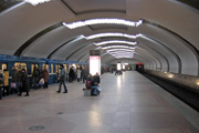
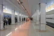
19.2 km Due to geological conditions a shallow alignment was chosen for the Minsk metro (average 12-14 m). During construction of the Nemiga station, remains of an ancient city were found. Archeologists worked on the site for two years but eventually everything was covered with sand. The Minsk Metro has standard Russian gauge (1524 mm), platforms are 100 m long and 10 m wide. Maximum speed of metro trains is 80 km/h on the first line and 70-80 km/h on the second line, except for the span between stations Nemiga and Frunzenskaya where trains run at speed 45 km/h. Since September 2002, 5-car trains have been running on the first line, while a fifth car was added to trains on the second line in June 2009. The stations are accessible via pedestrian subways, only three stations in the centre have entrances in existing buildings: Oktyabrskaya, Kupalovskaya and Pl. Lenina. All stations except Pervomayskaya have island platforms. Mogilyovskaya, opened 5 Sept. 2001, was the first metro station in the ex-USSR to be equipped with elevators. |
||||
|
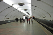
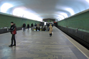
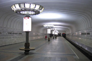
Line
1 Moskovskaya
Maskowskaya
|
||||
|
26/06/1984:
Institut Kul'tury - Moskovskaya |
||||
|
|
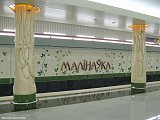
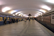
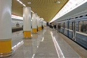
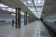
 Petrovshchina Pyatrowshchyna
|
|
|
|
|
|
|
|
|
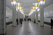
 Akademiya Nauk Akademiya Navuk |
|
|
|
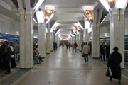
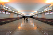
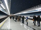
 Vostok Uskhod |
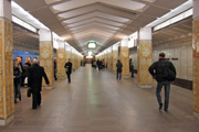
 Borisovskiy Trakt Barysawski Trakt |
Photos © Alexei Bobko |
|
See full Line 1 Moskovskaya Gallery
|
||||
|
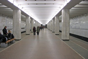
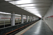
Line
2 Avtozavodskaya
Awtazavodzkaya
|
||||
|
31/12/1990: Traktorniy Zavod - Frunzenskaya
28/05/1991: Pervomayskaya station 03/07/1995: Frunzenskaya - Pushkinskaya 07/11/1997: Traktorniy Zavod - Avtozavodskaya 05/09/2001: Avtozavodskaya - Mogilyovskaya (2.6 km) 07/11/2005: Pushkinskaya - Kamennaya Gorka (3.9 km) |
||||
|
|
|
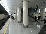
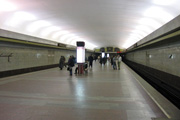
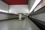
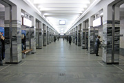
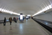
 Sportivnaya Spartywnaya |
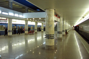
 Pushkinskaya Pushkinskaya |
|
|
|
|
|
|
|
|
|
|
|
|
Photos © Alexei Bobko |
|
See full Line 2 Avtozavodskaya Gallery
|
||||
|
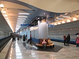
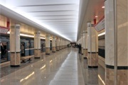
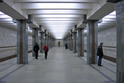
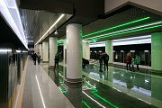
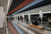
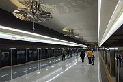
Line
3 Zelenoluzhskaya
Zielienaluzhskaya
|
||||
|
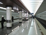
07/11/2020:
Yubileynaya Ploshchad' - Koval'skaya Sloboda (3.5 km)
|
||||
|
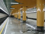
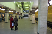
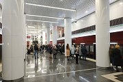
|
|
|
|
Photos © Alexei Bobko |
|
See full Line 3 Zelenoluzhskaya Gallery Note: For better legibility, for Belorusian transliteration we use the BGN/PCGN romanization system (similar to Russian etc.) and not the standard visible inside the Minsk Metro!
|
||||
|
Projects |
||||
|
Line 3 is planned to be extended north to the residential area of Zeleny Lug. A fourth line might become a semi-circular line from Vesnyanka in the northwest to Serebryanka in the south, via Akademiya Nauk and Traktornyiy Zavod on the existing lines. |
||||
| Links | ||||
|
Metropoliten.by (Official Metro Website) Minsktrans (Official Site - Other Urban Transport) Stolichniy Transport i Svyaz' (Official Site - Transport in the Capital) Minsk Metro at Wikipedia Minsk Metro @ Mir Metro by Dmitry V. Aksenov Listen
to some Sounds of the
Minsk Metro |
||||
|
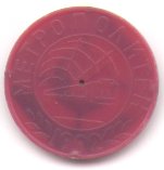
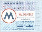
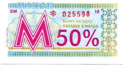
Tickets
and Tokens
|
||||

Thanks also to A. Sinurin and Alexei Bobko!
2011 © UrbanRail.Net by Robert Schwandl.