| METRO | |
|
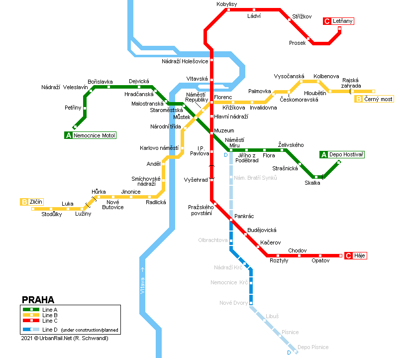
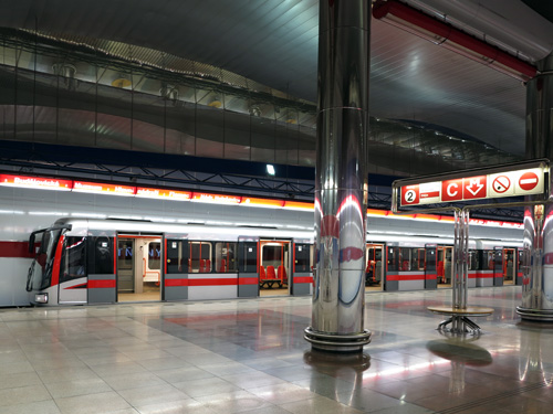
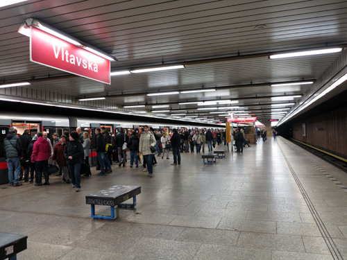
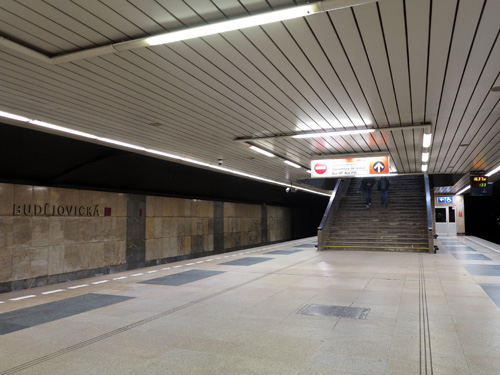
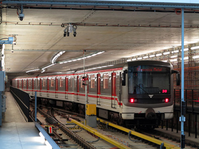
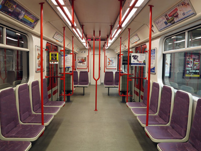
Prague (Czech Praha), the capital of the Czech Republic (Czechia), has 1.2 million inhabitants and is situated on both sides of the Moldau (Vltava) river. The Prague metro system follows the common Eastern European model with three basic lines forming a triangle in the city centre and tunnels very deep below street level. Due to heavy flooding in mid-August 2002, the Prague Metro was closed for several months along the central section (deep stations). Service was maintained on all outer branches. Trains Stations Transport
Museum As of 2015, the Prague Metro system is 65 km long with 61 stations:
|
|
| Line A | |
|
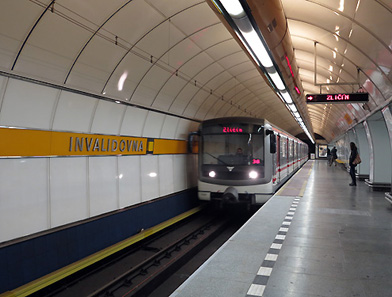
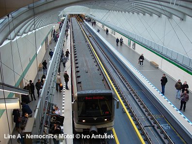
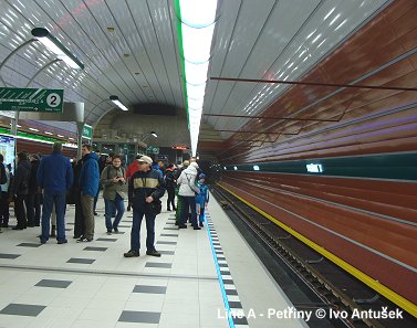
The western branch of line A (east-west, 17.1 km) (Nám. Míru-Dejvická) opened in 1978 and until 1990 it reached its Skalka. Hradcanská and Staromestská were restored in 1997/98. In May 2006, line A was extended by one station (1 km) from Skalka to Depo Hostivar, taking advantage of the tracks leading to the Hostivar depot in that location. The new terminus is served by every other train. Eventually, in 2015, 37 years after its opening, line A got its western extension to Motol Hospital, with a further extension to the airport postponed.
|
|
|
|
|
| Line B | |
|
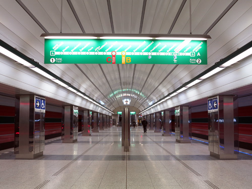
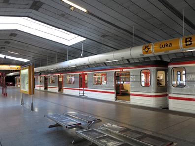
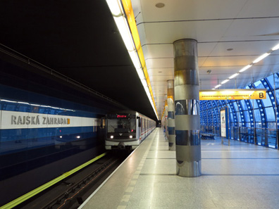
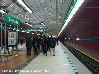
The newest is line B (25.7 km). The city section between Florenc and Smíchovské nádrazí opened in 1985, a first extension to the south-western suburbs in Nové Butovice opened in 1988. The line grew to the north-east (Ceskomoravská) in 1990, and finally in 1994 to the south-western terminus at Zlicín. This section is not very deep and some station use daylight. Between Hurka and Luziny there is an artificial science-fiction-like bridge tunnel (see picture below). The easternmost section to Cerny Most opened with 3 stations on 9 Nov 1998 (Vysocanská, Rajská zahrada, Cerný Most). On 15 Oct. 1999 an intermediate station was opened to the public, Hloubetín. One more station, Kolbenova (planned as CKD) was built between Vysocanská and Hloubetín, it finally opened on 8 June 2001.
|
|
|
|
|
| Line C | |
|
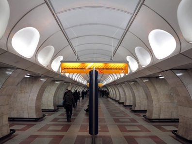
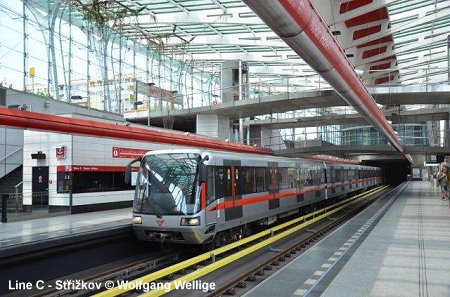
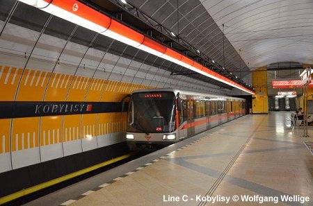
The first section of line C (north-south, 22.4 km) was opened between Sokolovská (now Florenc) and Kacerov in 1974. This line continued to Háje in the south in 1980 and crossed the Vltava river to Holešovice in 1984. Most stations have a central platform, but not Hlavní nádrazi (Central Rail Station) and Vyšehrad (situated inside the motorway bridge crossing the Nusle valley). Construction of a 3.9 km line C extension from Nadrazí Holesovice to Ládví began in Sept. 2000 and was completed in June 2004. The line crosses under the Vltava river and there is one intermediate station at Kobylisy. Construction of another 4.6 km line C extension from Ládví to Letnany began in spring 2004 and was completed in May 2008. Letnany is the new location of the Prague Fairgrounds.
|
|
|
|
|
| History | |
|
09
May 1974: C Florenc - Kacerov [For correct Czech spelling refer to map above!] |
|
|
Projects |
|
|
Line D: The first 10.6 km section with 10 stations will run from Nám. Míru (A) via Pankrác (C) to Depo Písnice. [Project Website] Videos: |
|
|
|
|
|
|
|
| Links | |
|
Dopravní podnik hl.m. Prahy (Official page) Metroprojekt (Construction company) Metrostav (Metro construction) ROPID (Regionální organizátor pražské integrované dopravy - regional fare system) Timetables for all Czech cities Praha Metro and other city transport by Tomáš Rejdal Prazské Metro by Karel K. Prague Metro by Matej Cadil (in English) Metropraha.eu by Jan Mareš Metro v Praze at Wikipedia.cz Esko Praha at Wikipedia.cz Prague Public Transport Guide by Brendan Fox mhd86.cz - News about Prague & Czechia by Ondrej Matej Hrubes BLOG: Read your webmaster's impressions of the Prague Metro & Tram System (Dec. 2016) |
|
| Photos Metro | |
|
|
|
|
|
|
| Photos Tram | |
|
More about the Prague Tram |
|
| Video - 12 Secrets of Prague's Metro | |
| Video - Cab ride from end to end on Metro Line C | |
| Video - Metro Impressions by Andrew Thompson | |
| Metro Praha Souvenirs - T-Shirts, Mugs, Bags, etc. | |
|
Click to see full selection of available products! |
|
|
Books |

Robert Schwandl U-BAHN, S-BAHN & TRAM IN PRAHA :: Urban Rail in the Czech Capital Prague The Czech capital has a lot to offer to urban rail enthusiasts — three modern metro lines, an extensive tram system with more than 20 lines, and a frequent suburban service on the national rail network. The city’s transport system is complemented by the Petrin funicular and trolleybuses, which have returned to Prague in 2024. In this bilingual book, Robert Schwandl presents every means of urban rail transport, providing a brief overview of the respective history of each system and the vehicles used. At the end of the book, readers will find detailed maps in the form of an atlas of the entire region. 02/2025, Text deutsch/English, ISBN 978 3 936573 78 7, EUR 19.50 - For more info & sample pages click here! |
|
Robert Schwandl's TRAM ATLAS MITTELEUROPA | CENTRAL EUROPE (incl. Poland) This
illustrated atlas includes every tramway system in East-Central Europe,
from Poland via Czechia and Slovakia to Hungary. The atlas also covers
the three metro systems in the region, as well as trolleybuses in cities
with tramways. 10/2024, Text deutsch/English, ISBN 978 3 936573 76 3, EUR 24.50 - For more info & sample pages click here! |
| Book |
