|
[ UrbanRail.Net ] [ Europe ] [ Americas ] [ Asia ] [ Africa ] [ Oceania ] [ News ] [ Books ] [ Links ] |
|
HAMBURG
|
| Hamburg . Germany |
|
|
|
HAMBURG
|
|||||||||
|
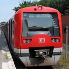
With a population of 1.8 million (some 2.6 million in the metropolitan area), Hamburg is Germany's second largest city after Berlin. Although located 100 km from the North Sea it is one of Europe's major ports.
|
|||||||||
|
U-Bahn
|
|||||||||
|
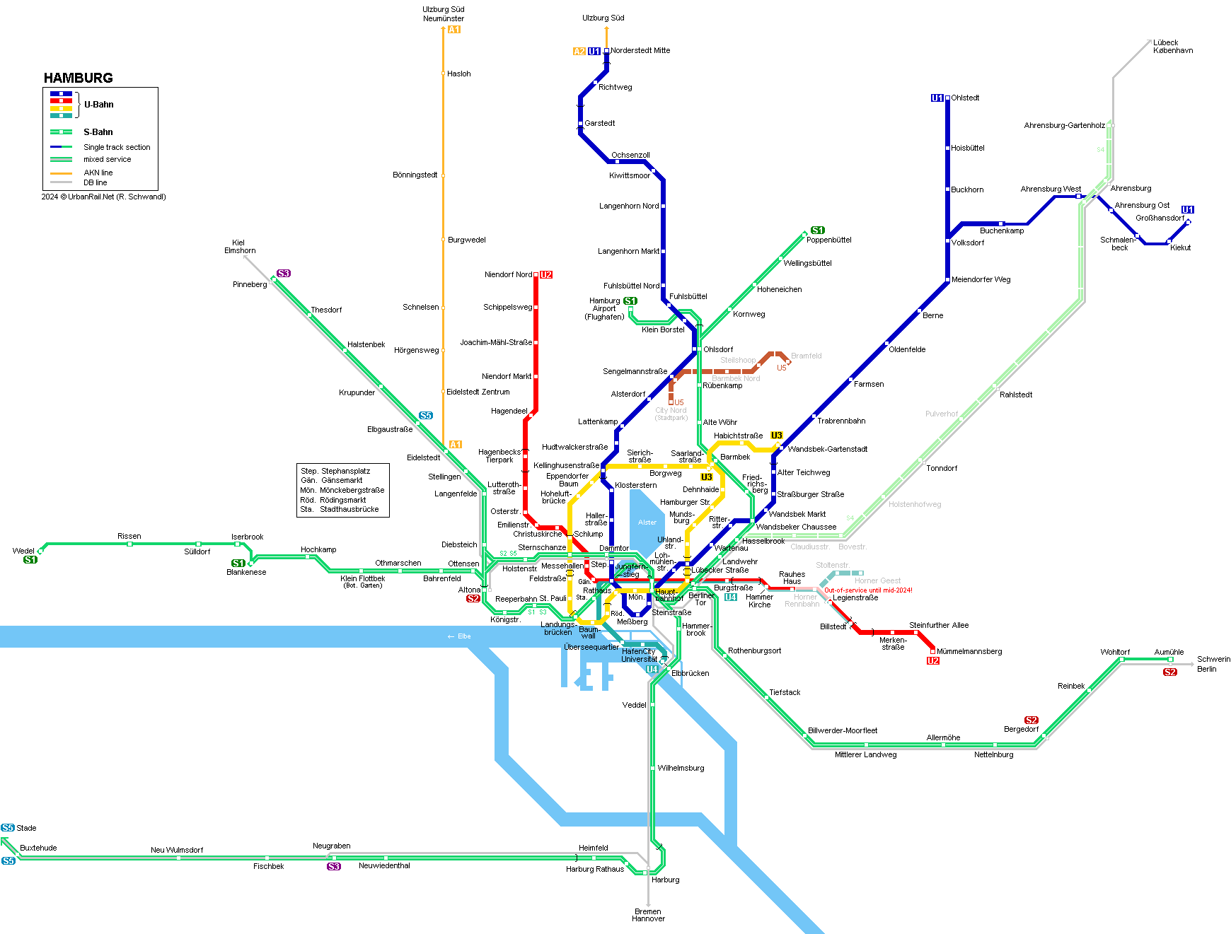
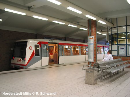
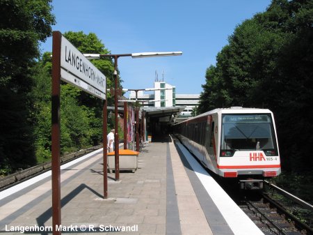
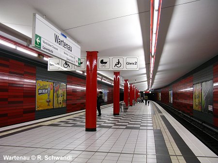
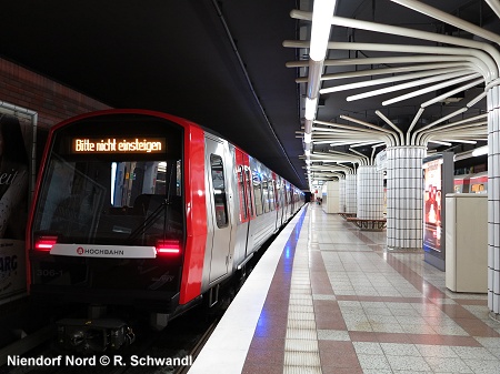
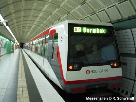
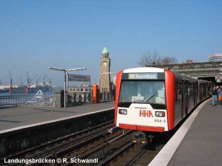
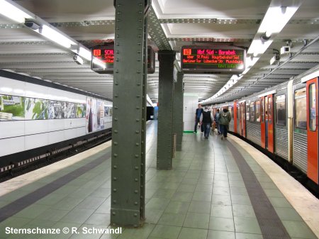
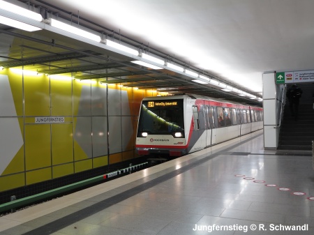
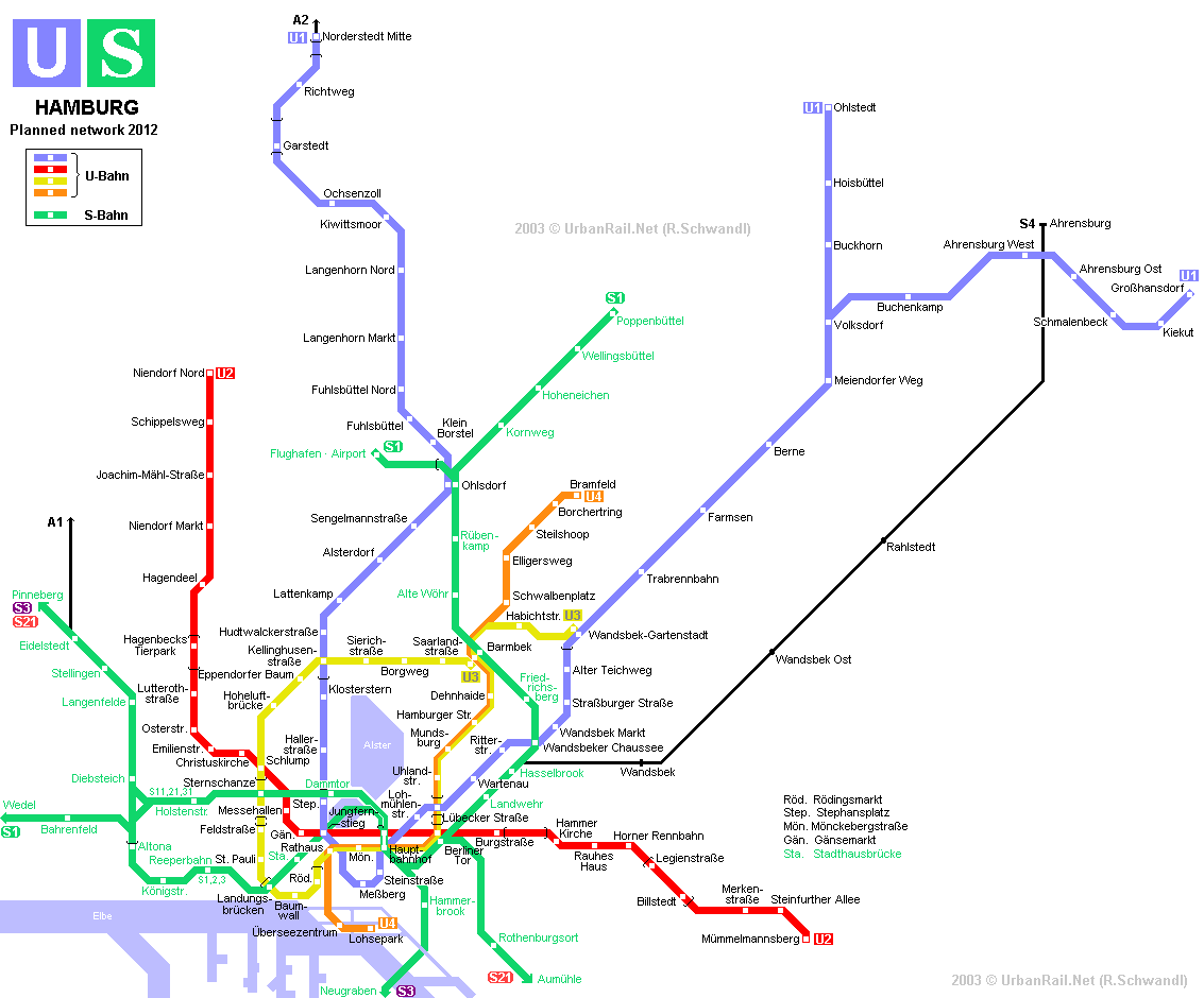
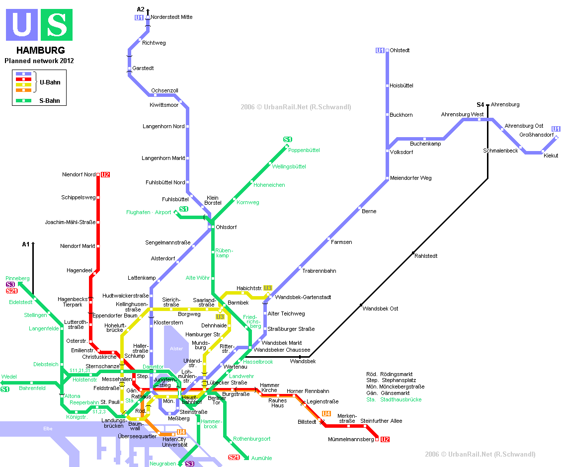
After World War II it took five years to re-establish operation on the entire ring line. An important expansion of the network was carried out in the 1960s with an underground section of U1 between Jungfernstieg and Wandsbek-Gartenstadt, and the mostly underground to Merkenstraße (initially the eastern leg of line U3, now U2/U4). Line numbers were introduced in 1966. In the early 1970s, a new cross-city line (U2) was built using deep bored tunnels. This section includes 3 tube-type stations (Messehallen, Gänsemarkt and Hauptbahnhof Nord). Jungfernstieg (lying under the Binnenalster lake) and Hauptbahnhof Nord were laid out with four tracks to provide for a once planned line U4, which would have run from Sengelmannstraße (U1) via Borgweg (U3) to Hauptbahnhof, and then west to Altona (S) and Lurup. Until 1996 short extensions were added to all three lines. Together with the new U4 project, Berliner Tor station was rebuilt to allow U2 trains from Niendorf Nord to continue to Mümmelmannsberg, thus improving the distribution of passenger loads. The new arrangement was put into service on 29 June 2009. Line U3 now runs from Berliner Tor back to Barmbek and further on to Wandsbek Gartenstadt, similar to the original alignment opened in 1912, when the ring was operated as a true circular line. After the introduction of line U4 (actually a branch of line U2) in December 2012 and its extension to Elbbrücken in December 2018, the "Hamburger Hochbahn" (elevated metro) has a total length of 106 km (44 km underground), with all lines running underground, elevated or at grade (especially U1 northeastern branch) at some stage. Detailed U-Bahn history (thanks to Alex Riabov) |
|||||||||
| Line U1 - Norderstedt Mitte - Ohlstedt / Gro�hansdorf | |||||||||
|
55.8 km 01-12-1914:
Kellinghusenstra�e - Ohlsdorf
|
22-02-1960:
Jungfernstieg - Me�berg |
||||||||
|
|||||||||
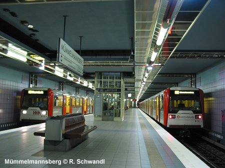
| Line U2 - Niendorf Nord - Mümmelmannsberg | |||||||||
|
24.3 km 21-10-1913:
Schlump � Emilienstra�e
|
28-09-1969:
Legienstra�e � Billstedt (as part of U3) |
||||||||
|
|||||||||
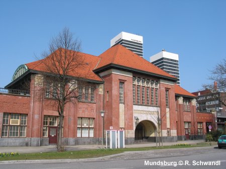
| Line U3 - Barmbek - Wandsbek-Gartenstadt | |||||||||
|
20.6 km 01-03-1912:
Rathaus - Barmbek via Mundsburg |
|||||||||
 |
|||||||||
| Line U4 - Elbbrücken - Billstedt | |||||||||
|
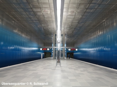
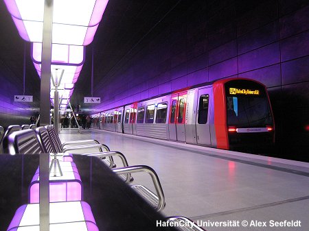
13.7 km In 2002, a new project for line U4 was presented. An underground extension was considered the best option to link the HafenCity (a kind of London style docklands redevelopment) to the city centre. Initially, this was to become a branch of line U3 diverging at Rathaus station and heading south with 2 stations. Between Rathaus and Barmbek (eastern ring) it would have run on the existing tracks. From Barmbek another branch was to be built north to Steilshoop and Bramfeld (4-5 stations - see original network layout). This route would have made the reconstruction of the present Rathaus station a difficult task, so eventually a new route diverging from Jungfernstieg, where separate tracks are available within the U2 station, was decided upon, with construction having started in 2007 (see final network layout). The new branch opened in Dec 2012, with the new line U4 running from Überseequartier to Billstedt. The terminus in the port area HafenCity-Universität was initially served only during weekends. In 2011 it was decided that the U4 branch would be extended by one station to Elbbrücken, with the option of being extended later south to Wilhelmsburg. In 2019, the new terminus at Elbbrücken will become an interchange with the S-Bahn. (Official project website) see line
U2 for shared section |
|||||||||
|
|||||||||
|
U-Bahn
Projects
|
|||||||||
|
At the eastern end, a new branch will be built for U4, diverging from the shared U2/U4 section at Horner Rennbahn to terminate at Dannerallee (Horner Geest), with an intermediate station at Stoltenstraße (1.9 km). [More info] The first (easternmost) section of the long-planned U5 may start construction in 2021 for an opening in 2026/27, running from Bramfeld via Steilshoop, Nordheimstra�e, Sengelmannstra�e (U1) to City-Nord (5.8 km). It is later planned to be extended through the city centre and west to Lurup.
|
|||||||||
|
|
|||||||||
| .. | |||||||||
|
S-Bahn
|
|||||||||
|
The original surface link (Verbindungsbahn) via Dammtor was already opened in 1866, the route was put on an embankment by 1906 and two separate tracks for local traffic were added. In 1907, electric service (with overhead power supply, 6300 V ac) began between Blankenese and Ohlsdorf. From 1939 until 1955, the suburban lines were changed to third rail power supply (1200 V dc). From 1924 electric trains have been running to Poppelbüttel and from 1954 along the mainly single-track line to Wedel. Trains to/from Wedel need to change direction at Blankenese.
The first section of the northwestern branch to Pinneberg opened in 1962 as far as Langenfelde. The S-Bahn eventually reached Pinneberg in 1967. The S-Bahn route across the Elbe River had been planned for a long time, but it took until 1983 until the southern district of Harburg was linked to the city centre. Neugraben was reached in 1984. This section includes 3 underground stations. The most important piece of the network is, however, the so-called City S-Bahn, and underground link between the Hauptbahnhof and Altona. Construction began in 1967 and the first section Hauptbahnhof - Landungsbrücken was opened in 1975, including the complex underwater station at Jungfernstieg built at the same time as the U2 station. In 1979, the cross-city tunnel was finished, the link between Altona and Diebsteich followed in 1981.
In order to expand the S-Bahn from Neugraben west to Buxtehude and Stade, dual-system trains (third-rail/dc and catenary/ac) started service on the 32 km route in Dec 2007, sharing tracks with other rail services. A 3 km, mostly underground S-Bahn branch from Ohlsdorf was finally completed in Dec. 2008 to link the city centre to the airport. Line S1 trains are divided at Ohlsdorf with the front section continuing to the airport, and the rear to Poppenbüttel. S-Bahn History 01-10-1907:
Blankenese - Ohlsdorf |
|||||||||
|
Links
|
|||||||||
|
Hamburger
Hochbahn AG (Official Site) HVV (Hamburger Verkehrsverbund) S-Bahn Hamburg (Official Site) Hamburg U-Bahn History (by André Loop) Hamburger U-Bahn at Wikipedia.de DT5Online (feat. many station photos; by Marcel Auktun) Die Hamburger S-Bahn (by Martin Heimann) UrbanRail.Net > Hamburg Photo Gallery BahnInfo.de News & Forum NimmBus.de Fahrplanauskunft
|
|||||||||
|
|||||||||
2004 © UrbanRail.Net by Robert Schwandl.