|
In
Dec. 2009, the former Calandlijn became lines A, B and C. Until
November 2002, all
Calandlijn
(east-west line) trains
had their western terminus at Marconiplein, in the west of Rotterdam.
The route runs underground and parallel to the river towards the city
centre, where interchange to the Erasmuslijn is provided at Beurs
(formerly Churchillplein). At Blaak, an underground station was
also built for NS local trains to Dordrecht. The east-west tunnel terminates
at the western end of Kralingse Zoom station, from where trains
continue eastwards on the surface.
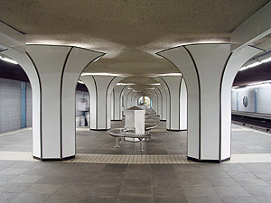
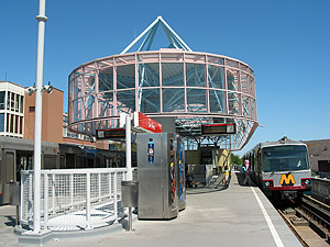
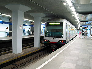
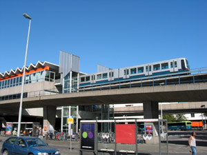
Marconiplein
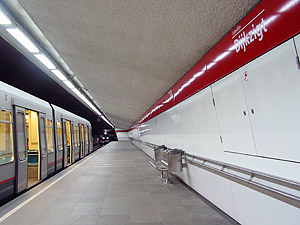
| Dijkzigt | Beurs
Leaving
Capelsebrug, trains heading for 'Ommoord' or 'Nesselande' lift
up their pantograph while the train is in motion to switch to Sneltram
mode, whereas those going to 'Capelle a/d IJssel' continue with third
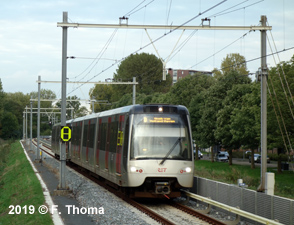
rail power supply. The 8.4 km Sneltram section is totally segregated
from other traffic, mostly fenced with hedges, but with several level
crossings. All three eastern branches of the Calandlijn operate every
10 minutes, which allows a 3-4 minute interval along the main section.
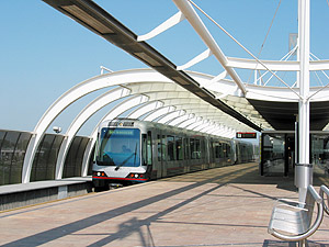
The northeastern branch, which initially terminated at De Tochten
(showing 'Zevenkamp' on the destination sign), was extended mainly on
a viaduct to Nesselande (1.5 km) in August 2005,. This section has no
level crossings and instead of using an overhead catenary the trains
switch back to third rail power supply.

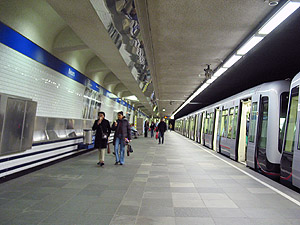
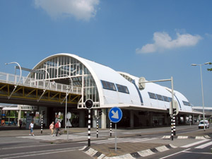
Nieuw Verlaat
| De Tochten | De Terp
A
12 km extension of the Calandlijn line towards the west (partly underground
through Schiedam) and then under the river Nieuwe Maas (Benelux-Tunnel)
to meet the north-south line at Tussenwater opened on 4 November
2002. Although initially promoted as the Beneluxlijn, the line operates
as an extension of the Calandlijn serving the Tussenwater - De Akkers
section together with the Erasmuslijn. Calandlijn trains from Spijkenisse
run through on the eastern branch to Capelle a/d IJssel.
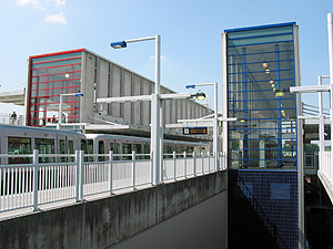
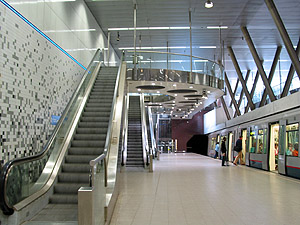
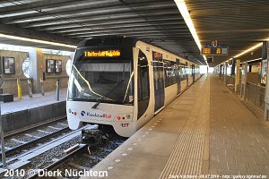
Tussenwater | Vijfsluizen | Parkweg
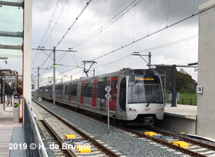
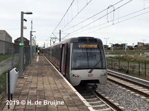
In
2017, the railway line from Schiedam to Hoek van Holland (23 km) was
handed over to RET to be converted to metro operation and linked to
the east-west metro line. Through service on line B, though with limited
service, eventually started in late Sept 2019. A 2 km single-track extension
to Hoek van Holland Strand (including a new station at Hoek van Holland
Haven) was completed in March 2023.
[Project Website]
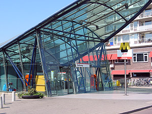
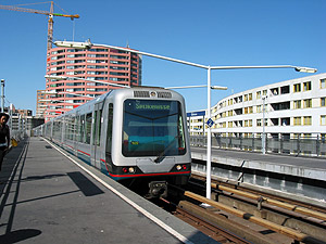
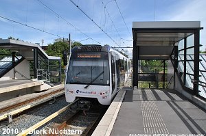
Schiedam
Nieuwland | Steendijkpolder | Hoek van Holland Haven
|
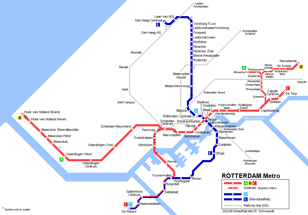
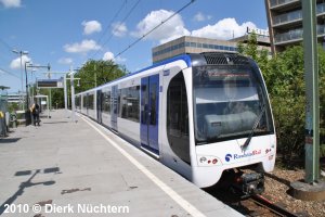


 RandstadRail
(Erasmuslijn)
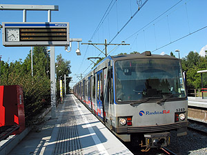
RandstadRail
(Erasmuslijn)