|
[ UrbanRail.Net ] [ Europe ] [ Americas ] [ Asia ] [ Africa ] [ Oceania ] [ News ] [ Books ] [ Links ] |
|
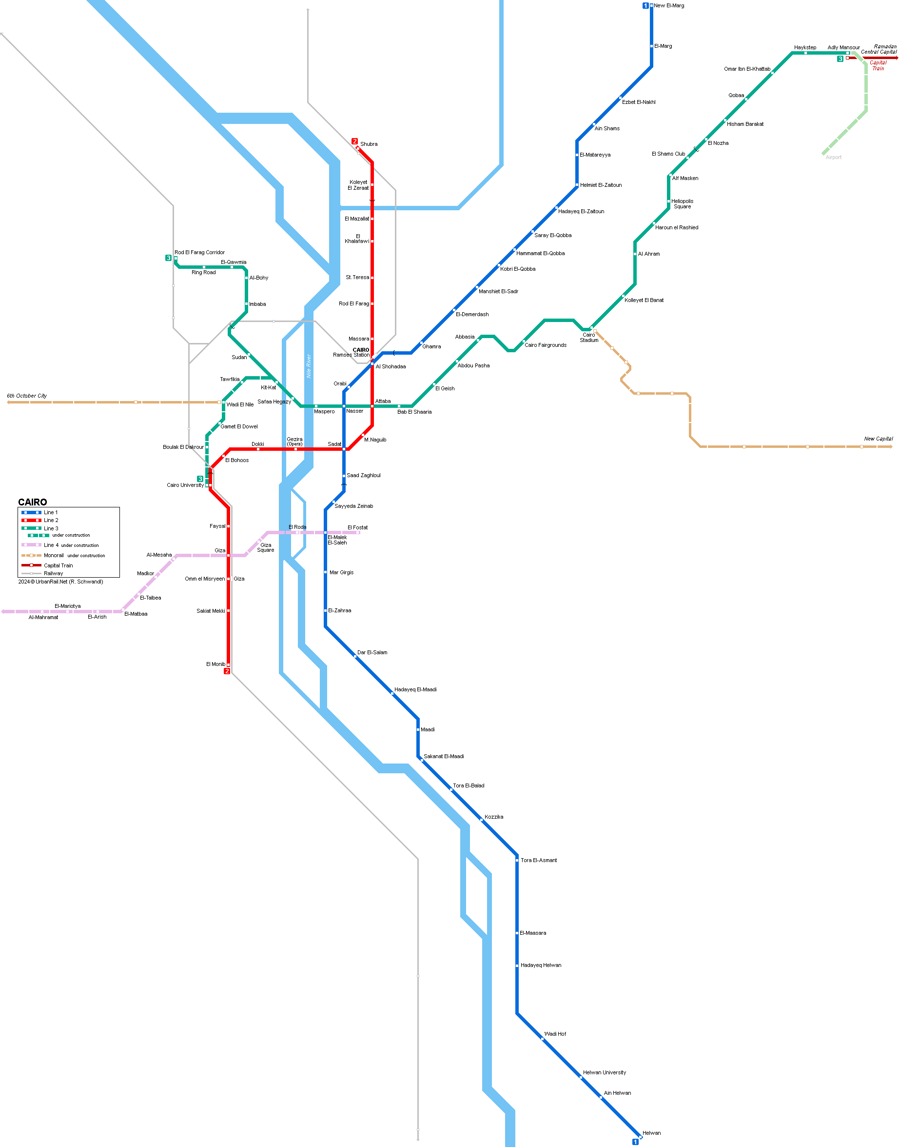
CAIRO
|
| Egypt |
|
System
|
|
|
The Egyptian capital Cairo (El Qahirah) has some 8.5 million inhabitants (12 million in the metropolitan area) and was the first city on the African continent to operate a metro system.
|
|
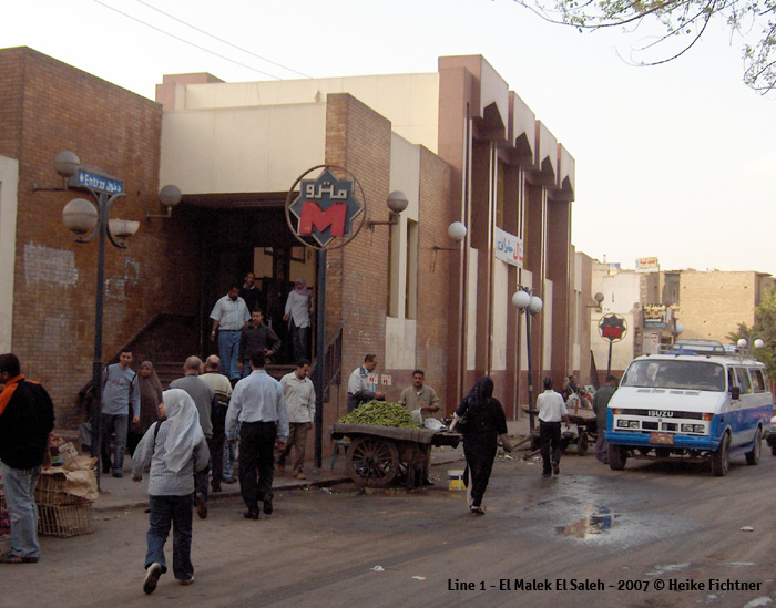
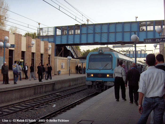
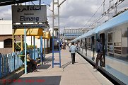
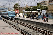
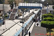
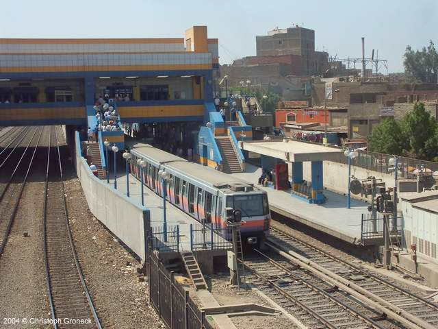
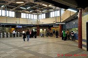
| Line 1 | |
|
26
Sept 1987: Helwan - Mubarak (now Al
Shohadaa) * Mubarak station was renamed into Al Shohadaa in May 2011. |
|
|
|
|
|
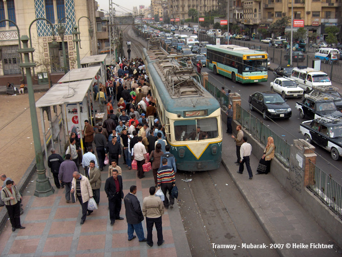
Photos
© Heike Fichtner & Dietmar Bothe (More
photos)
|
|
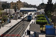
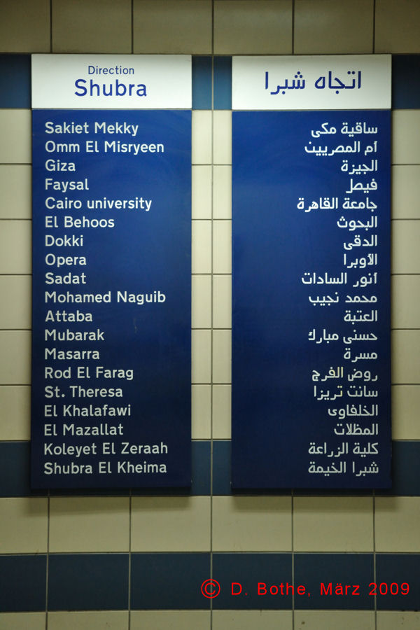
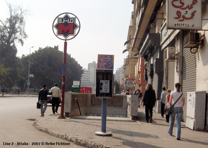
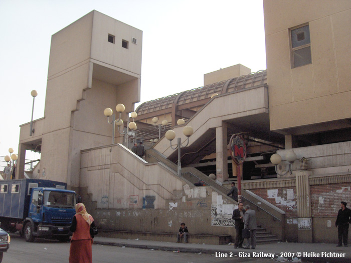
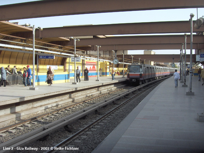
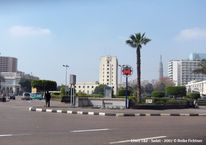
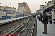
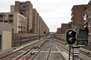
| Line 2 | |
|
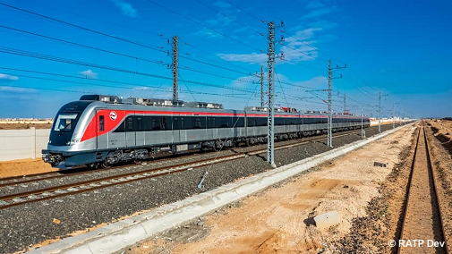
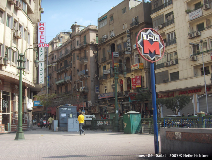
Later, contracts for the construction of a 2.5 km surface extension from Giza Suburbs (now Omm el Misryeen) to El Monib were awarded in Aug. 2001 to a consortium (Interinfra) led by Alstom. This section, which has one intermediate station Sakiet Mekky, opened in Jan. 2005. Some 13 km of the 21.7 km line is underground. Lines 1 and 2 meet twice, once at the railway station (Al Shohadaa) and once at Sadat station which is located under Tahrir Square next to the Egyptian Museum. The Cairo Metro is part of Egypt's National Railways and uses 1435 mm gauge. Oct
1996: Shubra - Mubarak (now Al
Shohadaa)(8
km) |
|
|
|
|
|
Photos
© Heike Fichtner, Christoph Groneck & Dietmar Bothe (More
photos)
|
|
| Line 3 | |
|
Line 3 was originally planned to run from Embaba in the northwest to Salah Salem in the east crossing both existing lines in the city centre. Later the project was modified and the eastern leg will now end at the Airport. After Attaba (Line 2) it continues northeast through Abbasia and Heliopolis. In the west a branch from Kit Kat Square to Mohandiseen was added to the project. Line 3 will be 33 km with 29 stations, of which 27 will be underground. Since the first section opened in early 2012, the line has been extended in stages: 21-02-2012:
Attaba - Abbasiya (4.3 km, 5 stations, underground)
|
|
|
|
|
| Capital Train | |
|
Suburban metro line (locally also referred to as 'Light Rail Transit'), connecting Adly Mansour (the present eastern L3 terminus) to Ramadan and the new Central Capital, featuring two eastern branches: 03 July 2022: Adly Mansour - Arts & Culture City (65 km) / Knowledge City (8.5 km) More at Wikipedia |
|
 |
|
|
Projects
|
|
|
Line 3 to Cairo International Airport Line
4 crosses the metropolitan area from the southwest at Al Ahram to
the east at Nasr City (24 km, crossing under the two branches of the
River Nile) |
|
|
MONORAIL
|
|
|
Two fully driverless monorail lines using Innova monorail trains from Bombardier (now Alstom) with Cityflo 300: - East Nile Monorail: from East Cairo (Cairo Stadium station on metro line 3) to the New Administrative City (56.5 km, 22 stations) - officially inaugurated on 20 March 2026, with regular passenger service launched on 6 May 2026. - West Nile Monorail: from Giza to 6th of October City (42 km) - under construction |
|
|
|
|
|
Links
|
|
|
Cairo Metro (Official Site) NAT-Egypt - National Authority for Tunnels Mobility Cairo (Official RATP Dev website) Cairo Metro at Wikipedia |
|
| Video: Cairo Metro (2020) | |
| Light Rail & Trams | |
|
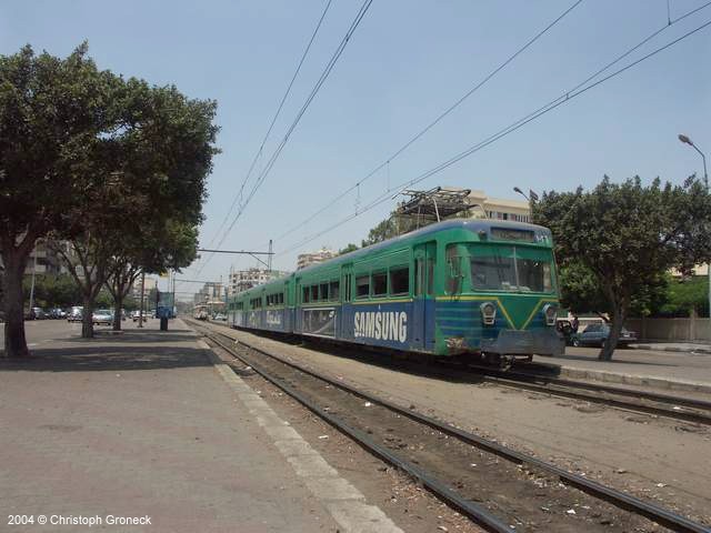
Metro Heliopolis was a metre-gauge light rail line, starting from Ramses Sq (Metro Al Shohadaa), then heading northeast, parallel to metro line 1, and finally in a cutting eastwards. This initial stretch of several km was totally independent. After arriving at Heliopolis, the route split into three branches, with linking sections between them. The alignment within Heliopolis was mainly along the middle strip of wide avenues. Due to the bad condition of the whole network the system closed down in stages until the last section was abandoned in 2019.
For more info visit Trams in Greater Cairo at Wikipedia |


| Book |
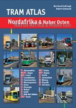 B
Bernhard
Kußmagk & Robert Schwandl: B
Bernhard
Kußmagk & Robert Schwandl:
TRAM ATLAS NORDAFRIKA & NAHER OSTEN | North Africa & Middle East 128
pages, approx. 150 colour images April /2025 |
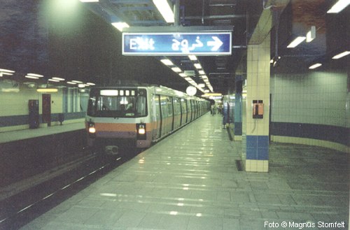
Photo Magnus
Stomfelt