|
[ UrbanRail.Net ] [ Europe ] [ Americas ] [ Asia ] [ Africa ] [ Oceania ] [ News ] [ Books ] [ Links ] |
|
HAIFA
|
| Israel |
|
System
|
|
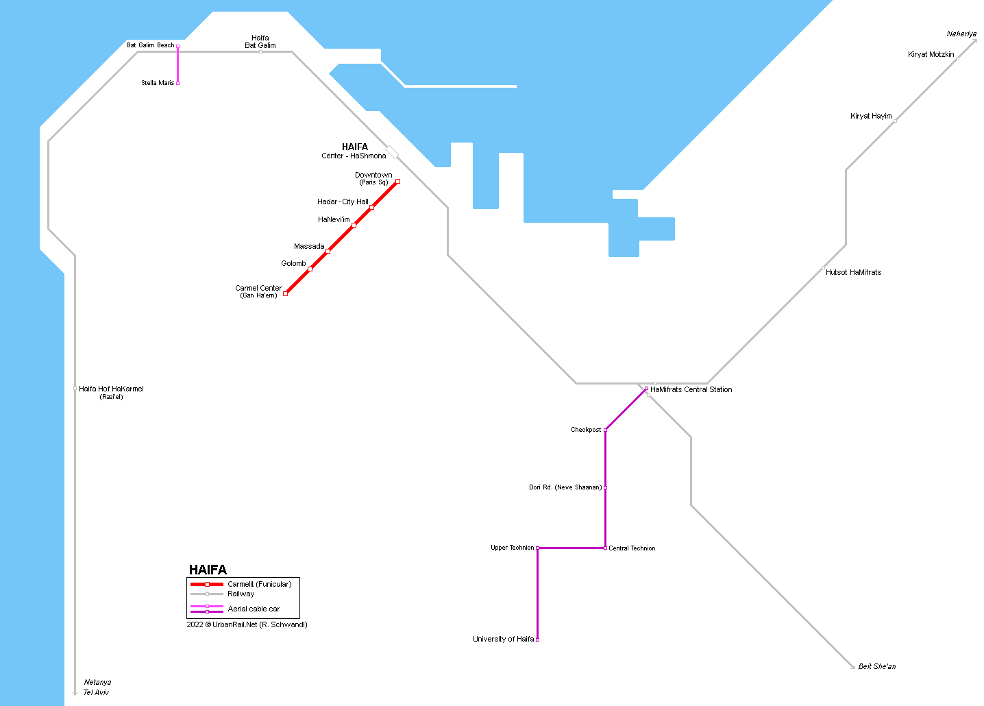
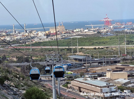
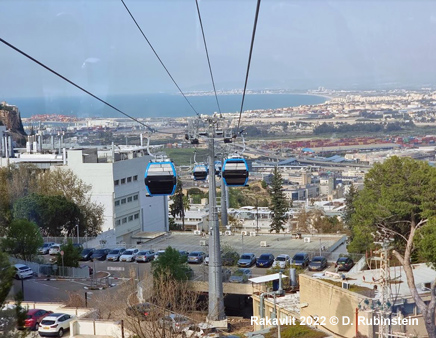
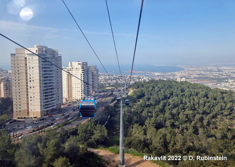
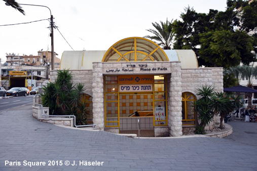
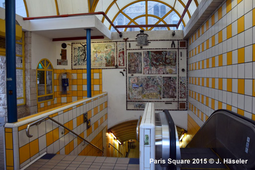
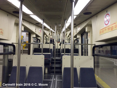
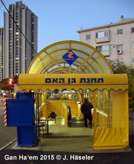
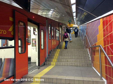
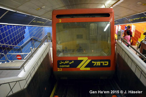
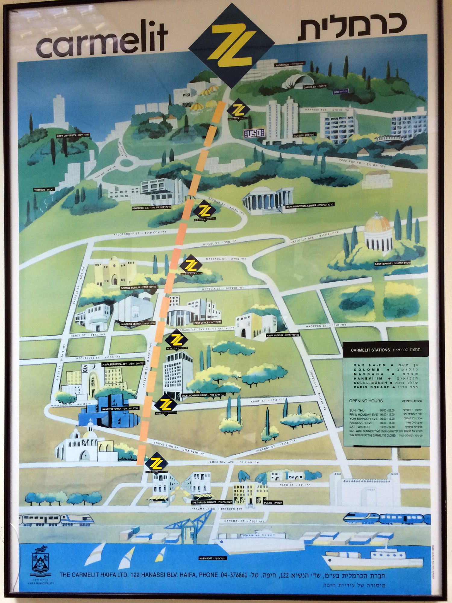
Haifa lies in the north of Israel by the Mediterranean Sea and has some 400,000 inhabitants in the metropolitan area. Due to its geographical situation, along the sea and on top of Mount Carmel, it was necessary to build an efficient transport system to link the commercial and leisure districts on sea level to the modern centre and residential areas on top of the mountain. An underground funicular was considered the best solution to surmount the difference in altitude of 274 m. The Carmelit Subway starts at Paris Square (sea level) and runs straight up for 1.75 km to Mount Carmel. It opened in 1959 and is operated by 2 two-car trains on single track with a short double track section to allow trains to cross. There are 6 stations with 30 m long platforms. Station names are shown in Hebrew, Arabic and English, other information is in Hebrew and English or in Hebrew only. Information columns outside the stations show the current location of the trains. The 'Rakavlit' aerial cable car, connecting the the HaMifratz train/bus station with the Technion and the University, opened on 8 March 2022, running 4.4 km from sea level up to an altitude of 460 m, with four intermediate stops.
|
|
History
|
|
1959 - Paris Square (now Downtown) - Gan Ha'em (now Carmel Center)
|
|
Photos
|
|
|
|
|
|
|
| Book |
 B
Bernhard
Kußmagk & Robert Schwandl: B
Bernhard
Kußmagk & Robert Schwandl:
TRAM ATLAS NORDAFRIKA & NAHER OSTEN | North Africa & Middle East 128
pages, approx. 150 colour images April /2025 |
|
Links
|
|
Carmelit Haifa (Official Site) Scanned city map showing Carmelit Subway line Visit our old 1999 Haifa Photo Gallery!
|
| Rakavlit |
 |
|
|
2007 © Robert Schwandl (UrbanRail.Net)
