|
[ UrbanRail.Net ] [ Europe ] [ Americas ] [ Asia ] [ Africa ] [ Oceania ] [ News ] [ Books ] [ Links ] |
|
FUKUOKA
|
| Japan |

|
SUBWAY
|
||
|
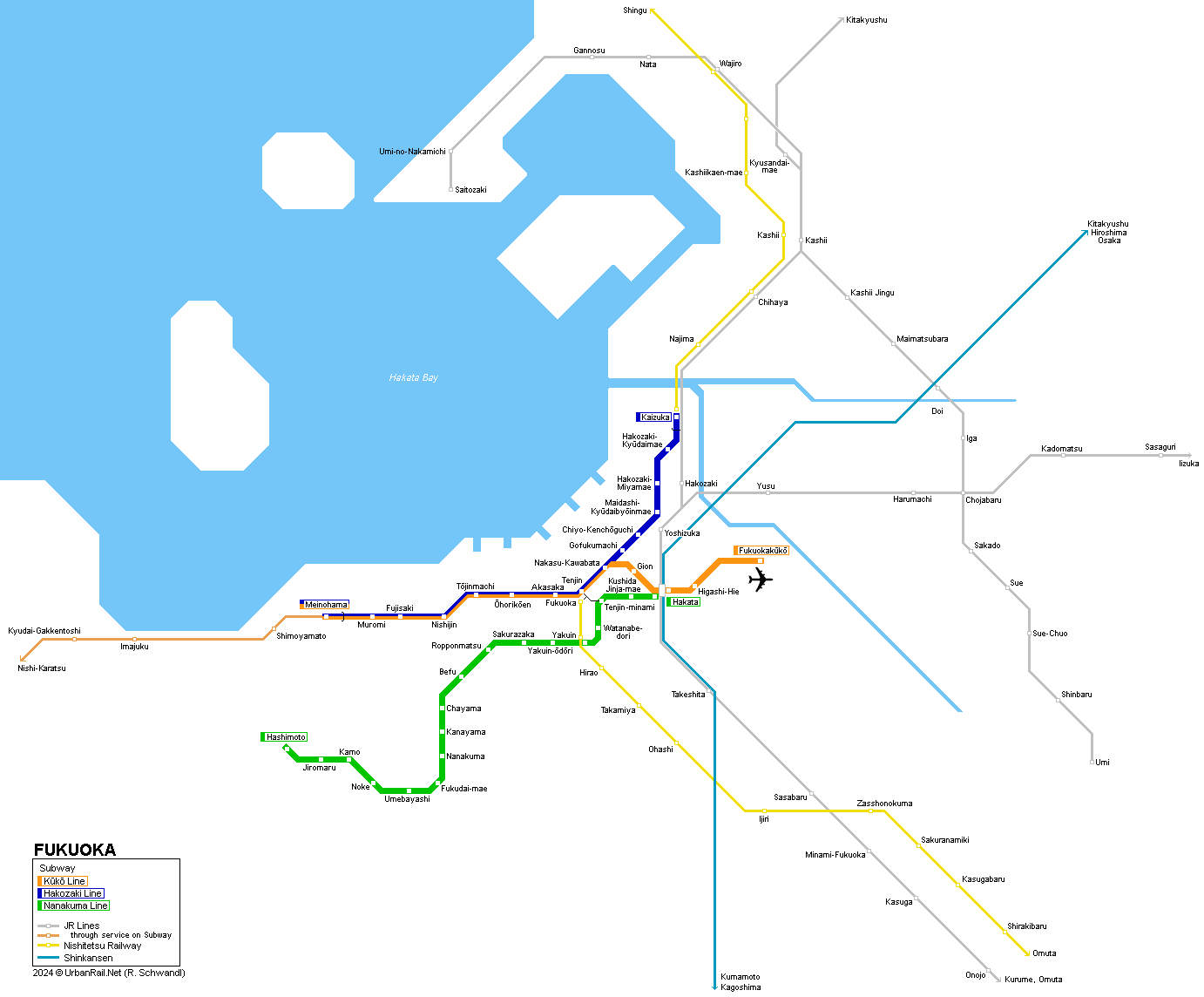
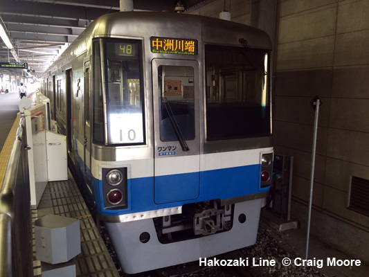
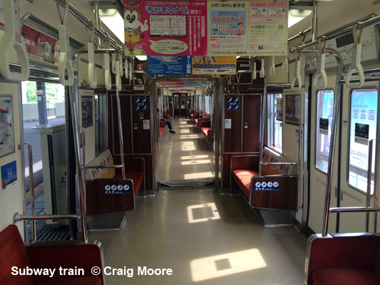
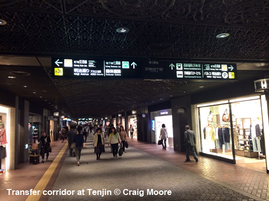
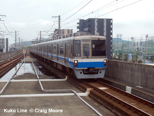
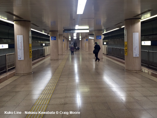
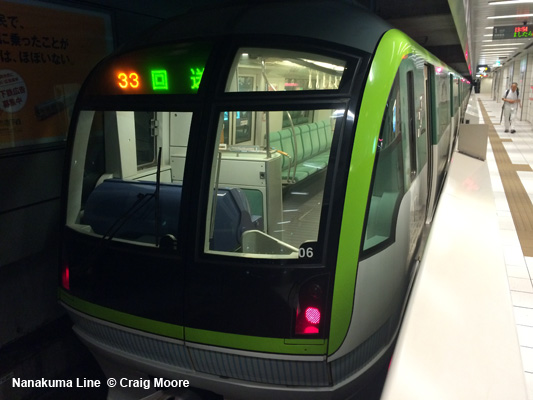
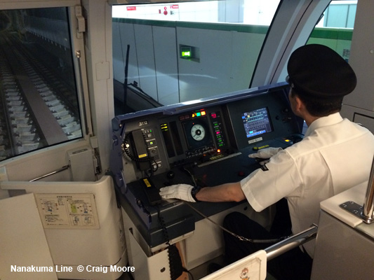
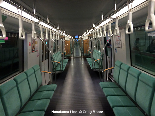
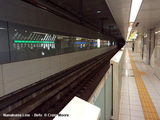
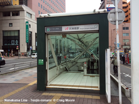
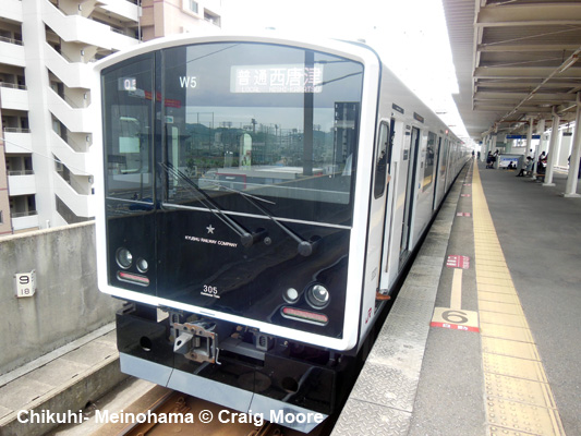
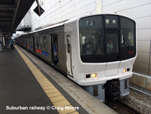
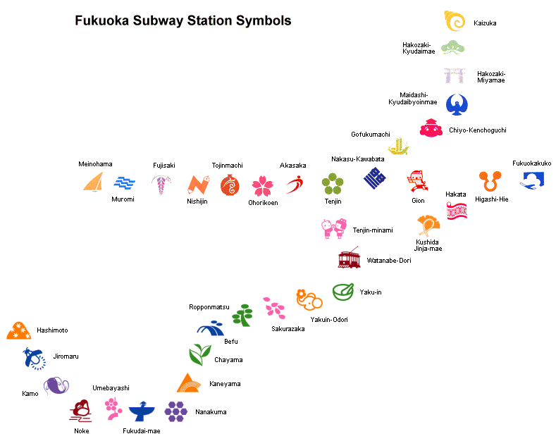
Fukuoka lies in the north of Japan's southernmost island Kyushu and has 1.2 million inhabitants. In 1973, the city decided to build a subway system. While all urban tramway lines were closed during the late 1970's, construction of the subway began in 1975. Until 2005, the Fukuoka subway network (17.8 km, 19 stations, all underground except Kaizuka and Meinohama) consisted of two lines which share a 8.5 km common stretch between Meinohama and Nakasu-Kawabata (initially built as part of Line 1 only). Some trains continue westwards from Meinohama on suburban rail tracks (JR-Chikuhi Line, 44km, 15-20 min. headway). The Fukuoka Subway has 1067 mm gauge and overhead power supply (1500V dc). 24 ATO-controlled 6-car-trains are used at a maximum speed of 90 km/h (commercial speed 41 km/h). They operate on the left. Average station distance is 860 m, mainly central 120 m platform. Stations can be identified by a symbol (like in Mexico City) and by a colour; all are accessible via elevators and have toilets. In 2005, a third line, the Nanakuma Line, was opened. It runs towards the southwest from Tenjin-minami to Watanabe-Dori, Yaku-in (For Nishitetsu Line), Yakuin-Odori, Sakurazaka, Ropponmatsu, Befu, Chayama, Kaneyama, Nanakuma, Fukudai-mae, Umebayashi, Noke, Kamo, Jiromaru, Hashimoto. The line is entirely underground and has 1435 mm standard gauge.
|
||
|
Lines
|
||
| Line 1 | Kuko Line | |
|
Meinohama - Fukuokakuko (Airport), 13.1 km, 13 stations, 1067 mm gauge; through service on JR Chikuhi Line to Nishi-Karatsu 26/07/1981:
Muromi - Tenjin (5.8 km) |
||
| Line 2 | Hakozaki Line | |
|
(Meinohama -) Nakasu-Kawabata - Kaizuka, 4.7 km, 7 stations, 1067 mm gauge 20/04/1982:
Nakasu-Kawabata - Gofukumachi (0.5 km) |
||
|
||
|
|
||
| Line 3 | Nanakuma Line | |
|
Tenjin-minami - Hashimoto, 13.6 km, 18 stations, 1435 mm gauge 03 Feb 2005:
Tenjin-minami - Hashimoto (12 km) |
||
|
||
|
Links
|
||
|
Fukuoka Subway at Wikipedia BLOG: Read your webmaster's impressions of Fukuoka's Subway system (April 2016)
|
||
| Book | ||
|
METROS & TRAMS in JAPAN - Vol. 3: West & South Osaka - Kyoto - Kobe - Okayama - Hiroshima - Kitakyushu - Fukuoka - Nagasaki - Kumamoto - Kagoshima The third volume of our trilogy about urban rail systems in Japan covers all the systems in West and South Japan, from the metros in Osaka, Kyoto and Fukuoka to the different special transit systems like monorails and people movers, and to the numerous tramways, including Japan's largest network in Hiroshima. As usual, the book is illustrated with a large number of recent colour photos and detailed network maps.
Text: German & English; 160 pages, ca. 300 photos; Detailed network
maps |
||
|
Suburban
Railways
|
||
 |
||
2007 © UrbanRail.Net by Robert Schwandl.