|
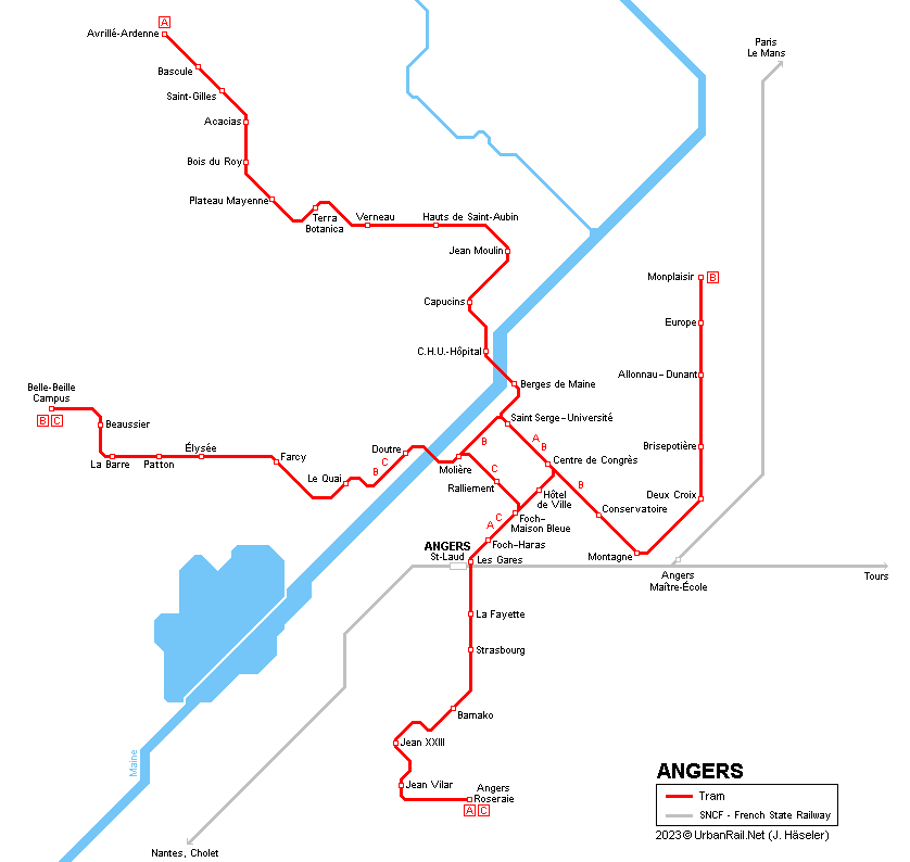
Angers
(Pays de la Loire) - approx. 156,000 inh. (~300,000 inh. in metropolitan
area)
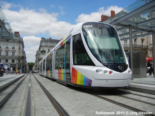
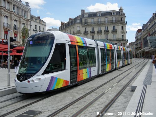
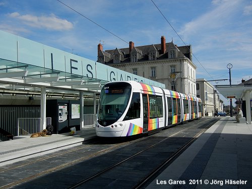
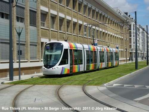
Tram
-
opened 2011
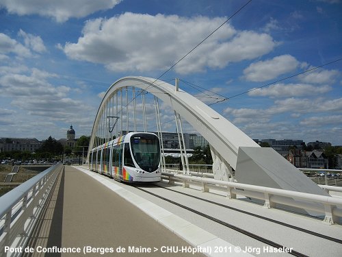
- route length 21.6 km
- 1435 mm gauge
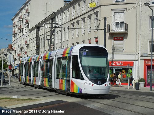
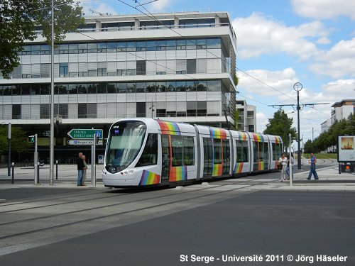
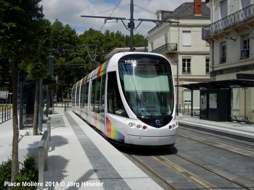
- rolling stock: Alstom Citadis 302
25 June
2011: Avrillé-Ardennes - Angers-Roseraie (12 km)
04 Jan 2021: line A rerouted via Centre de Congrès instead
of Ralliement (1.2 km)
08 July
2023: Belle-Beille Campus Molière (4.8 km) &
Centre
de Congrès Monplaisir
(3.6
km) introducing lines B and C
|
|
 Tram Atlas Frankreich | France (2nd edition, 2022)
This
revised edition of our bilingual (German/English) and illustrated atlas
includes all tramway and trolleybus cities in France, plus all the M tro
and VAL systems. Each city features a detailled system map, some with
an enlarged city centre area, showing all stops, loops, single-track
section, depots etc. Short texts provide information about special features,
while details about history and operation are presented in tables. All
current vehicles are depicted in one of the numerous colour photographs.
Angers,
Aubagne, Avignon, Besan on, Bordeaux, Brest, Caen, Clermont-Ferrand,
Dijon, Grenoble, Le Havre, Le Mans, Lille, Lyon, Marseille, Montpellier,
Mulhouse, Nancy, Nantes, Nice, Orléans, Paris, Reims, Rouen,
Saint-Étienne, Strasbourg, Toulouse, Tours, Valenciennes
160
pages, 17x24 cm, approx. 300 colour images, network maps, text Deutsch/English
Feb. 2022 - ISBN 978 3 936573 66 4, EUR 19.50
More
info here!
|