[ UrbanRail.Net ]     [ Europe ] [ Americas ] [ Asia ] [ Africa ] [ Oceania ]     [ News ] [ Books ] [ Links ]

STRASBOURG
 France

Strasbourg Tram Map

 System

Strasbourg - approx. 290,000 inh. (480,000 inh. in conurbation)

TRAMWAY

- opened in 1994
- network length 48 km, 87 stops (2020)
- 6 lines
- rolling stock: 36 Eurotram 8x, 17 Eurotram 10x, 41 Citadis 403

30-11-2013: Cervantès (ex Hautepierre Maillon) - Parc des Sports (1 km, line A) and Dante - Poteries (1.15 km, line D)
23-04-2016: Illkirch Lixenbuhl - Graffenstaden (1.8 km)
29-04-2017: Aristide Briand - Kehl Bahnhof (2.7 km)
23-11-2018: Kehl Bahnhof - Kehl Rathaus (1.2 km)
17-06-2019: Boecklin - Robertsau L'Escale (1.6 km)
20-09-2019: + Citadelle
29-08-2020: Faubourg National – Comtes (1.7 km, line F)
15-03-2023: + Starcoop

Tram Atlas France - Frankreich
 Photos

Tram Strasbourg Tram Strasbourg Tram Strasbourg Tram Strasbourg Tram Strasbourg Tram Strasbourg Tram Strasbourg Tram Strasbourg Tram Strasbourg Tram Strasbourg Tram Strasbourg

   
 Official Website

CTS


 Other Links

Tramway de Strasbourg at Wikipedia.fr

Strasbourg Tram by Christoph Groneck

Strasbourg Tramway.fr


 Books

Tram Atlas France - FrankreichNEW: Tram Atlas Frankreich | France (2nd edition, 2022)
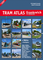
This 
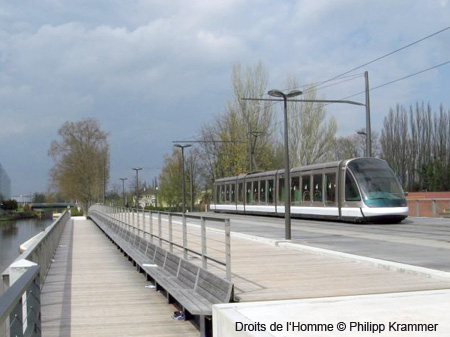
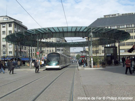
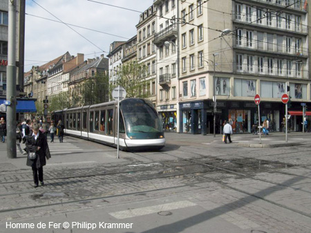
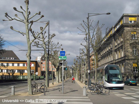
revised edition of our bilingual (German/English) and illustrated atlas 
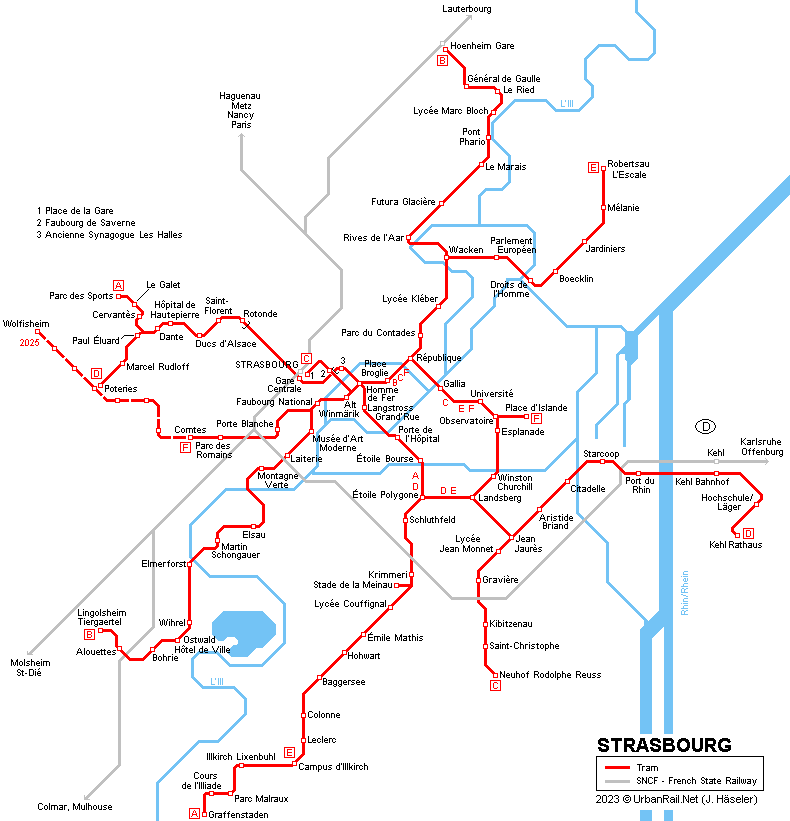
includes all tramway and trolleybus cities in France, plus all the Métro and VAL systems. Each city features a detailled system map, some with an enlarged city centre area, showing all stops, loops, single-track section, depots etc. Short texts provide information about special features, while details about history and operation are presented in tables. All 
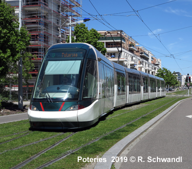
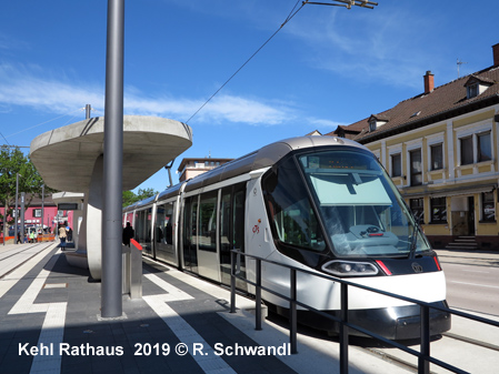
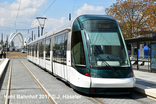
current vehicles are depicted in one of the numerous colour photographs.

Angers, Aubagne, Avignon, Besançon, Bordeaux, Brest, Caen, Clermont-Ferrand, Dijon, Grenoble, Le Havre, Le Mans, Lille, Lyon, Marseille, Montpellier, Mulhouse, Nancy, Nantes, Nice, Orléans, Paris, Reims, Rouen, Saint-Étienne, Strasbourg, Toulouse, Tours, Valenciennes

160 pages, 17x24 cm, approx. 300 colour images, network maps, text Deutsch/English
Feb. 2022 - ISBN 978 3 936573 66 4, EUR 19.50

More info here!


2010 © Robert Schwandl - UrbanRail.Net

Email