|
[ UrbanRail.Net ] [ Europe ] [ Americas ] [ Asia ] [ Africa ] [ Oceania ] [ News ] [ Books ] [ Links ] |
|
BONN
|
| Nordrhein-Westfalen . Germany |
|
[ UrbanRail.Net ] [ Europe ] [ Americas ] [ Asia ] [ Africa ] [ Oceania ] [ News ] [ Books ] [ Links ] |
|
BONN
|
| Nordrhein-Westfalen . Germany |
| System | |||||
|
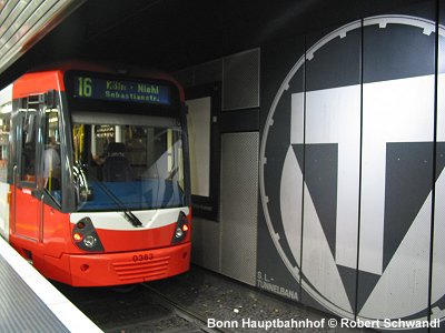
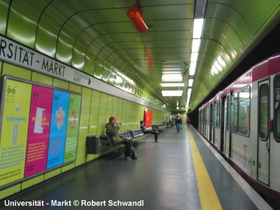
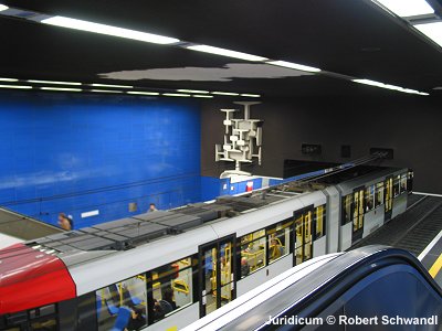
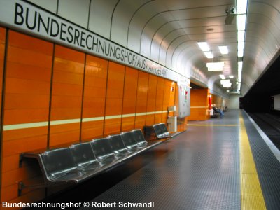
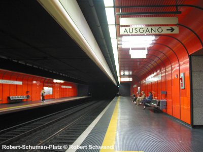
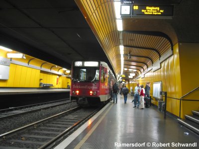
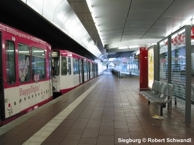
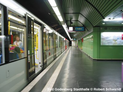
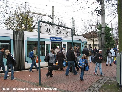
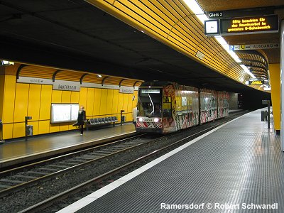
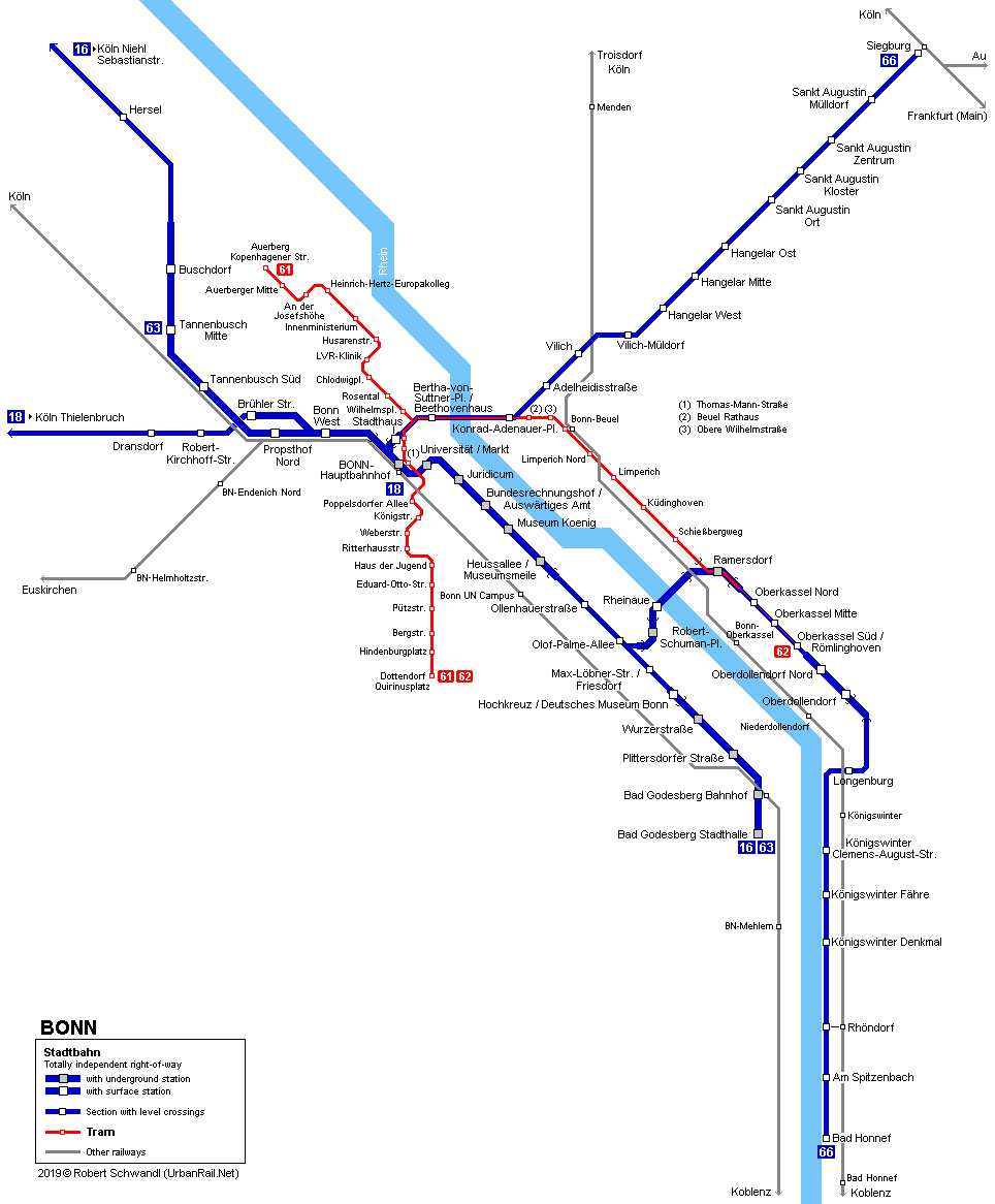
STADTBAHN Germany's former capital has only about 300,000 inhabitants, but obviously due to its political importance it had the chance to build an underground Stadtbahn route all across the city and further south to Bad Godesberg. Although operated by its own company, Bonner Stadtwerke, the system actually works as an extension of the large Cologne Stadtbahn network with two lines, 16 and 18, connecting both cities along an interurban route, which in the case of line 18 is partly single-track. In Bonn itself the city subway is also used by Bonn exclusive routes 63-68. There are two tunnel sections, a 3.2 km subway through central Bonn with 6 stations and a 1.1 km subway in Bad Godesberg (4 stations), a southern suburb of Bonn, plus two short underground sections including Ramersdorf station on the right bank of the River Rhine, and Robert-Schuman-Platz on the left bank. In August 1999, most ministries of the German Federal Government moved their headquarters to Berlin. As a consequence some stations changed their name, like Auswärtiges Amt (Foreign Ministry) which is now Bundesrechnungshof/ A. Amt.
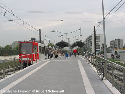
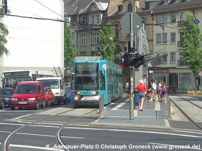
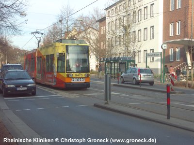
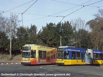
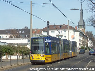
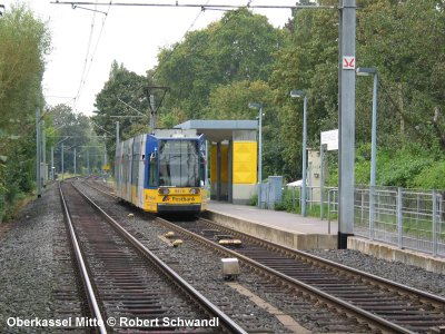
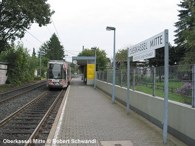
TRAMWAY Besides the Stadtbahn, there are two all-day tramway lines operating with low-floor trams. Between Ramersdorf and Oberkassel Süd, as well as across the Kennedybrücke, tramway and Stadtbahn share the same tracks. Tramway
network length: 15.7 km (2.4 km share with Stadtbahn) See tramway photos below |
|||||
| Stadtbahn History | |||||
|
1975:
Bonn Hauptbahnhof - Heussallee 2000 - a new underground terminus opened in Siegburg (Line 66) |
|||||
|
Stadtbahn Projects |
|||||
|
The so called Hardtbergbahn (8 km) is a new route from Hauptbahnhof (central railway station) towards the western parts of town. It will include a 1 km tunnel (which will also be used by trams 61 and 62) with one underground station. The central stretch between Stadthaus and the Rhine bridge might also be put underground in the future. |
|||||
| Stadtbahn Photos | |||||
|
|
|||||
|
|
|||||
| Links | |||||
|
Stadtwerke Bonn (Official Page) VRS (Verkehrsverbund Rhein-Sieg) Stadtbahn Bonn at Wikipedia.de Bahnen in Bonn (by Edmund Lauterbach) Bonn Track Map at gleisplanweb.de |
|||||
| Books | |||||
 Christoph
Groneck: Christoph
Groneck:
Köln/Bonn
Stadtbahn Album Nahverkehr
in Deutschland, Band 6 144
Seiten | pages ISBN
3 936573 07 7 Published December 2005 More info and sample pages | Mehr Info und Probeseiten
|
|||||
| Tram Photos | |||||
|
|
|||||
2004 © UrbanRail.Net by Robert Schwandl.